Description
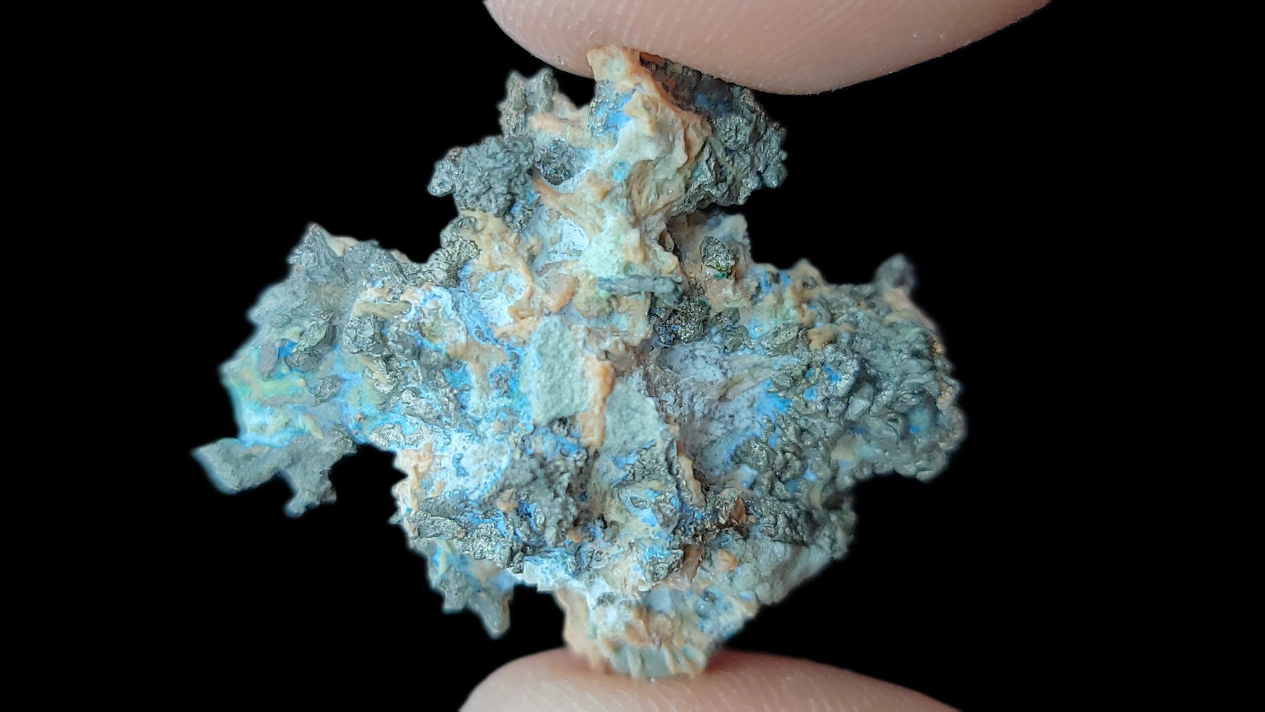
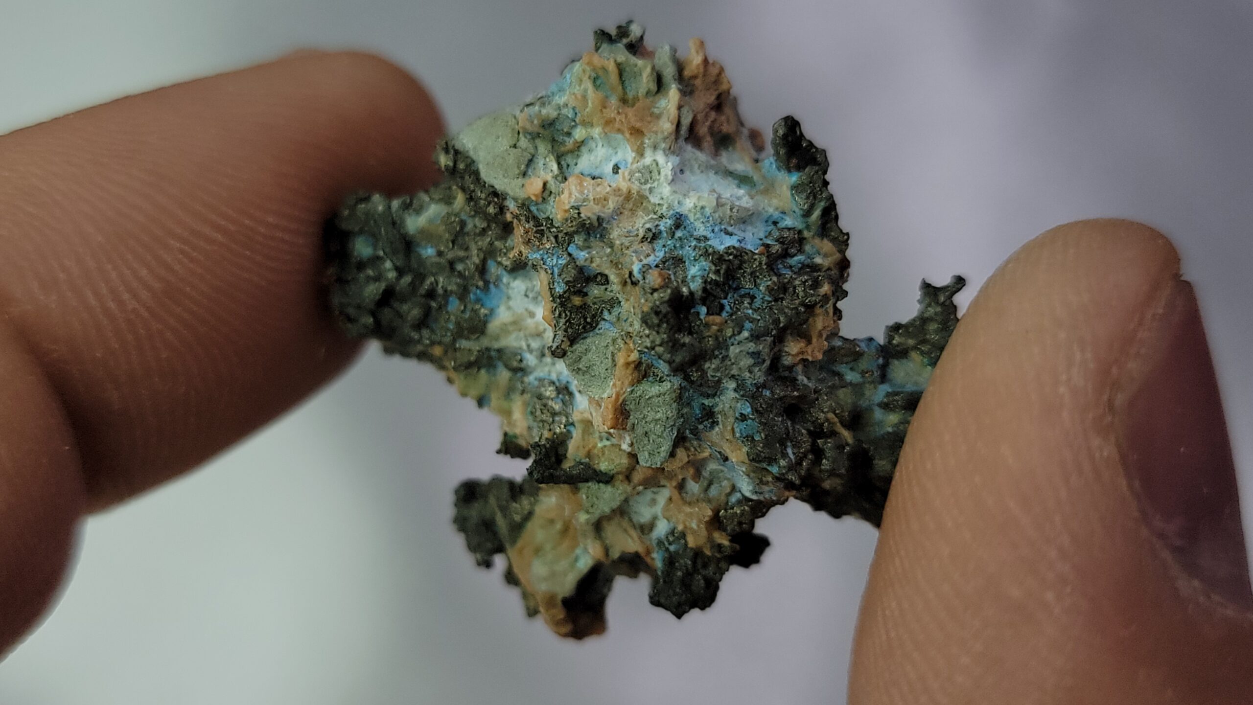
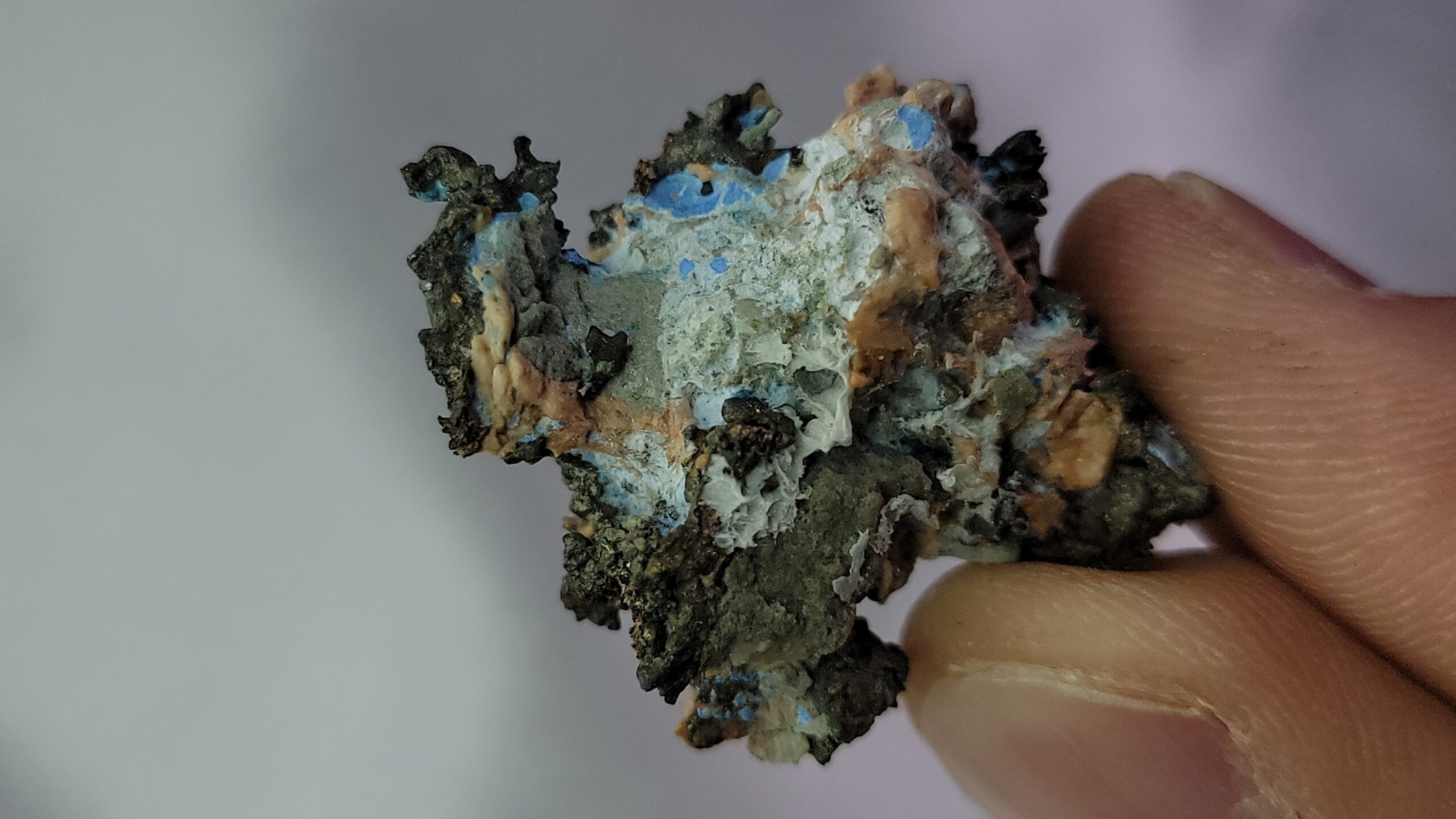
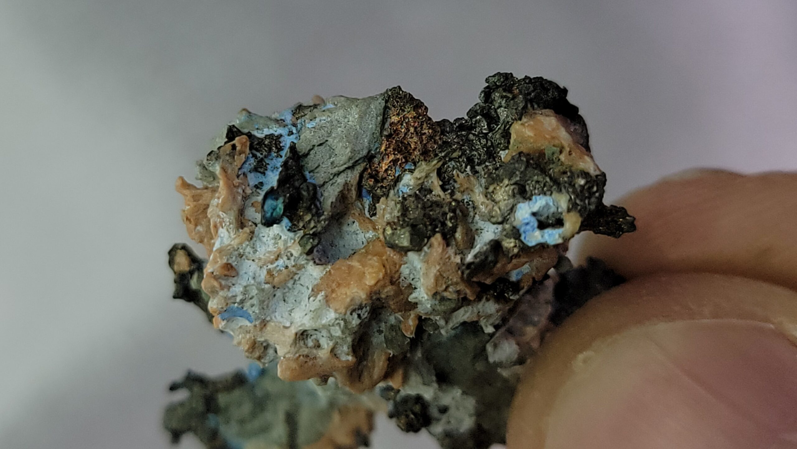
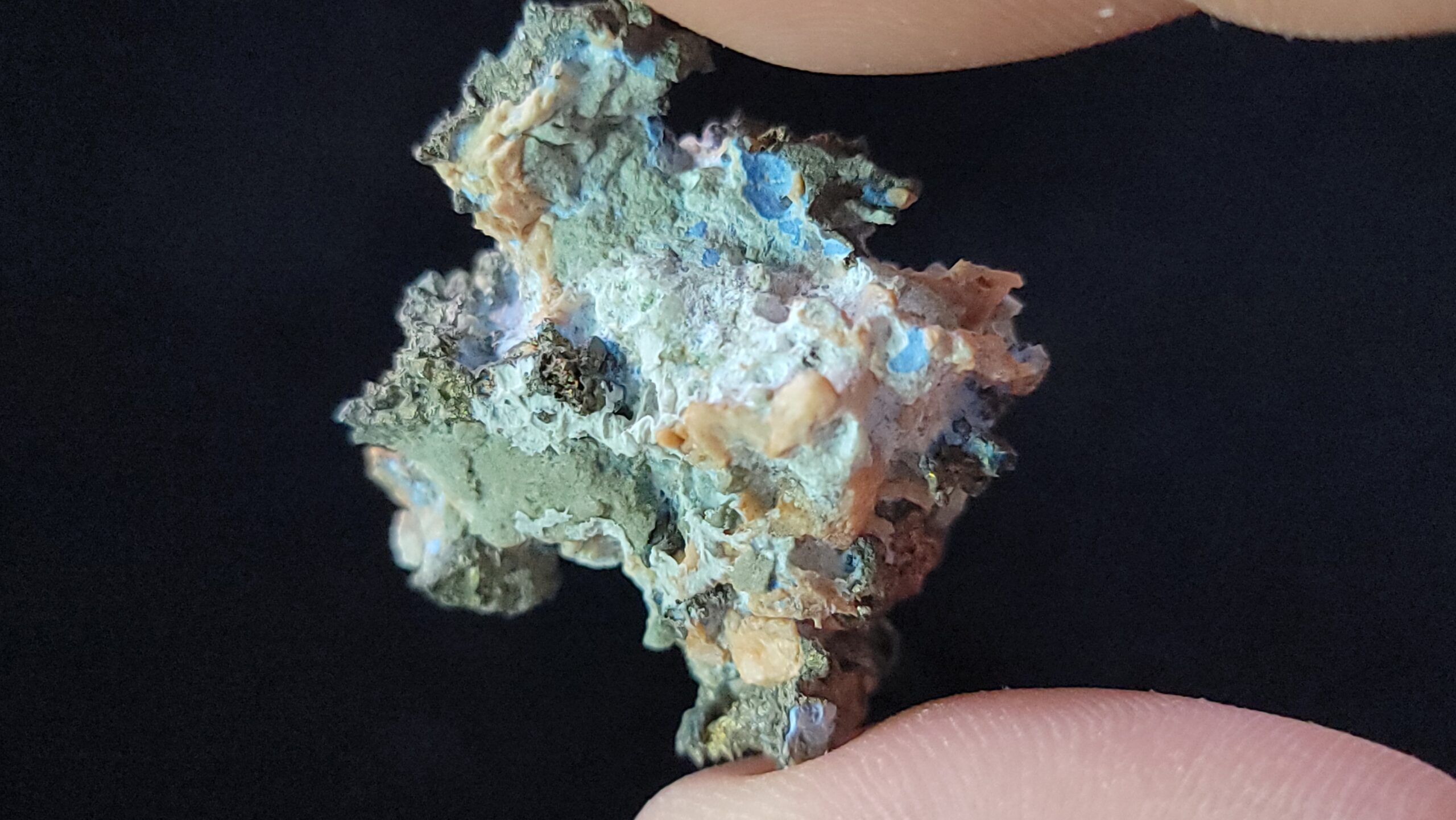
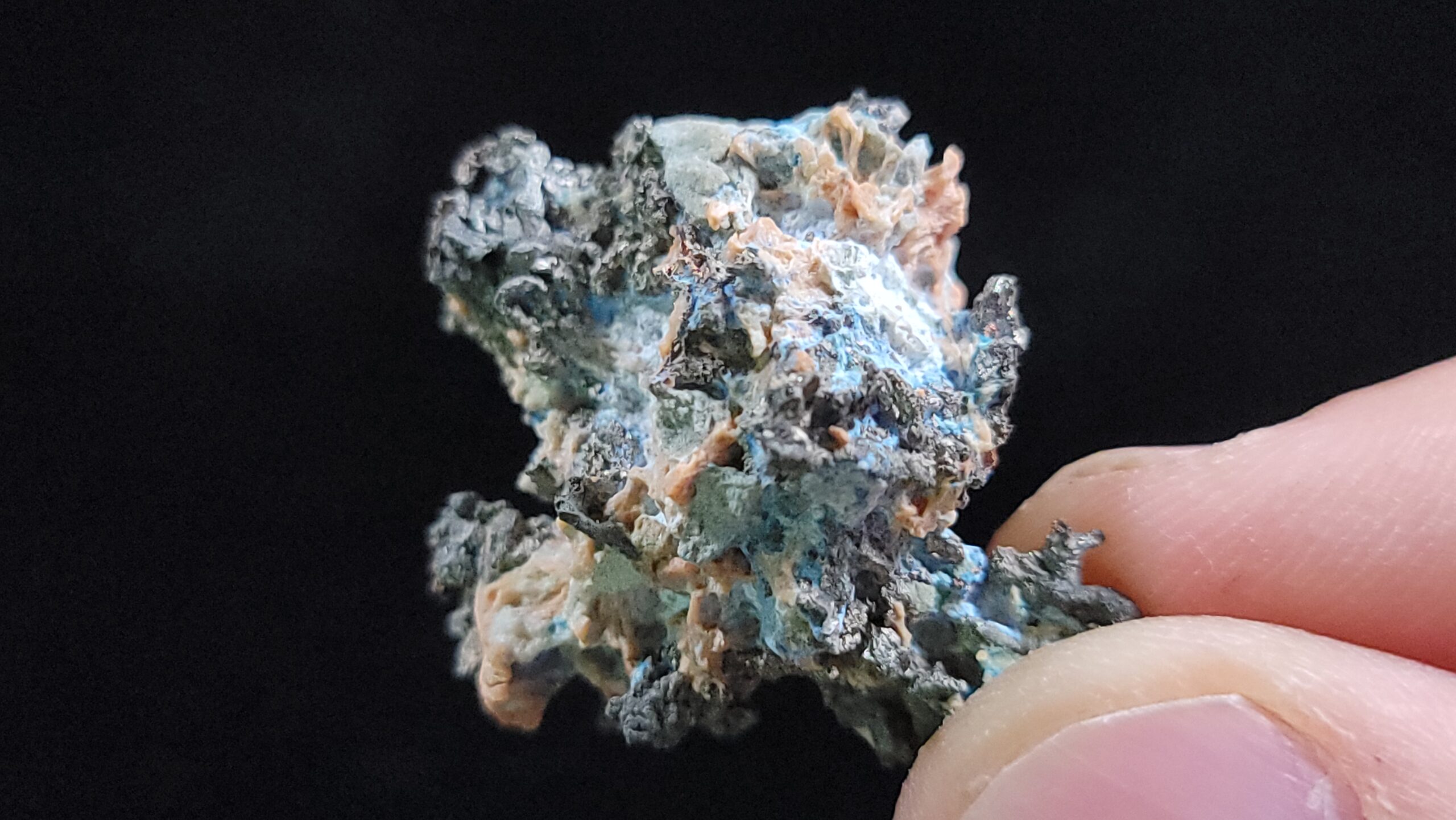
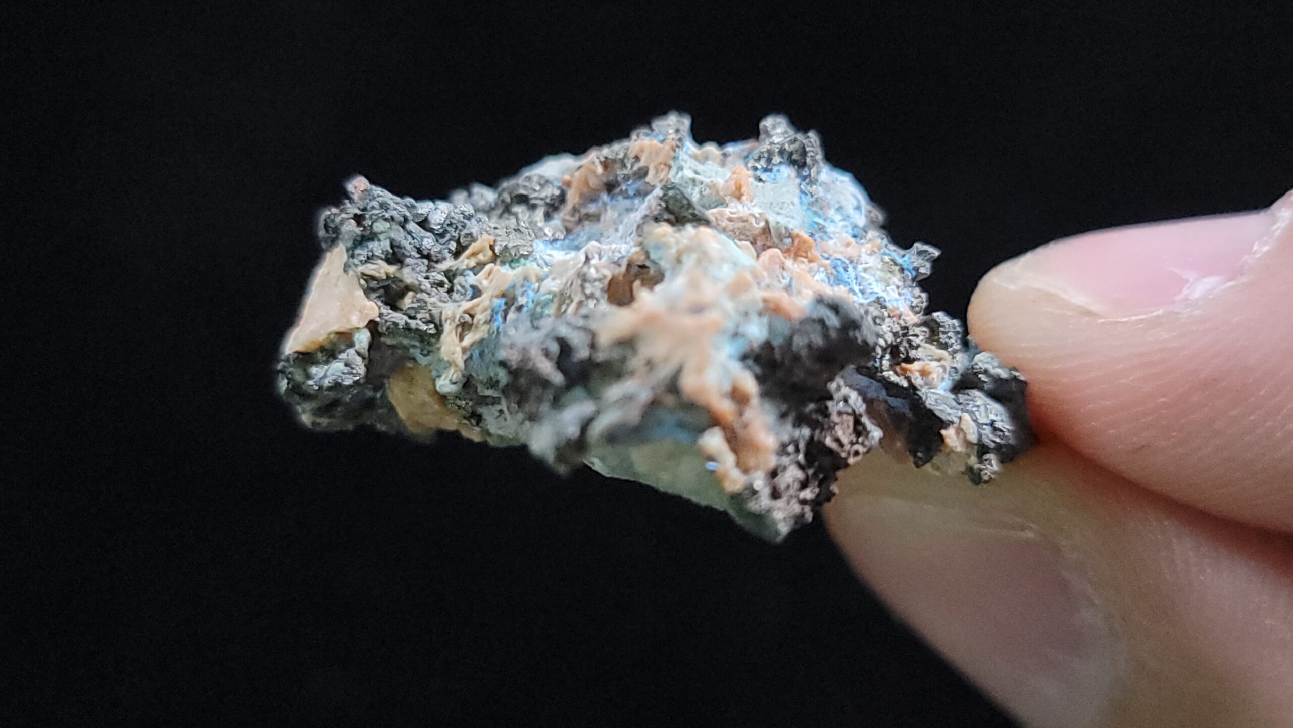
Silver and Copper both have a hardness of 2½ – 3 and while Silver has a specific gravity of 10.1 – 11.1, Copper’s is 8.94 – 8.95.
Despite its intrinsic value and the value to mineral and element collectors, this specific specimen is pretty special to Colorado mineral collectors as there wasn’t a huge Ag and Cu deposit known by many to exist in the middle of the Paradox Valley, amongst all the Uranium and Vanadium mines found all around, as, according to Wikipedia, “in 1913, The New York Times identified Carnotite mines near Paradox Valley as the source of ‘the greatest radium ore deposits in the world'” but not Silver and Copper! As both Ag and Cu are quite familiar metals to most, the rest of the description will focus more on the mine itself rather than the minerals shown here, but as they’re also both quite valuable, be sure to keep your eye out for a rock like this!
According to Mindat, the Cashin Mine is a “Cu-Ag-Au-Pb-Zn-U-Sb-As occurrence located about 7.2 km S of Paradox along La Sal Creek and about 12 miles SW from Uravan. Discovered in 1896. Last recorded production was in 1972. The claims lie across La Sal Creek and onto Nyswonger Mesa, about 2.5 miles above the confluence with the Dolores River, 4 miles SSE of Paradox and 3.2 miles WNW of Bedrock.
The La Sal Mining District includes both the Cashin Mine and the Cliff Dweller Mine located about 1,500 feet to the west. The properties were first staked in 1895 by James N. McBride and mining began in 1896, with the development of underground access and stoping on the highly mineralized portions of the Cashin fault. First production occurred in 1898 and activity ended in 1972. The mine operated intermittently until 1946. Total production from the two mines was approximately 1.8 million pounds of Cu and 425,000 ounces of Ag from a total of 23,000 tons of ore averaging 4.0% Cu and 18.5 ounces per ton of Ag. The Cashin Mine developed workings for some 2,200 horizontal and 300 vertical feet over widths of 1 to 20 feet on the north side of La Sal Creek. To the south of the creek, an adit extends for a further 300 feet to the south with Cu mineralization visible along its length. The historic production has been exclusively from the highly mineralized fault zones.
This deposit was discovered in 1896 but no active development took place until 1898. The first operator apparently was the La Sal Copper Mining Company, that sold the property in 1918-1919 to the Michigan-Colorado Copper Company. Due to high transportation costs in the early years only high-grade sulfide and native copper ore could be mined. A small leach plant and smelter produced matte in the early 1900’s, using pyrite from Ophir and coal from ovens W of Naturita. Intermittent production took place by various operators from 1922 to 1946. Further exploration/development and rehabilitation was conducted by the Cashin Copper Corporation in 1955, Interstate Oil and Gas in 1962, Gold Bar Resources in 1963 to 1965, and Austin Smith in 1972, who shipped 50 tons of dump ore to a leach plant in the Lisbon Valley, Utah, but no values were recovered. In 1981, the New Star Corporation acquired the property (Mining Record, 12/2/1981), and performed exploration and development, and shipped a trial lot of 500 tons of ore that were successfully milled.
Mineralization is a Cu deposit, hosted in Late Jurassic shale and the Wingate Sandstone of the Chinle Formation. The ore body is 6.1 meters thick. Controls for ore emplacement included a fault cutting poorly cemented, friable sandstone. Local alteration includes oxidation of Cu sulfides to carbonates and oxides. Local rocks include Glen Canyon Group and the Chinle Formation.
Regional geologic structures include the Paradox Basin Fold and Fault Belt. Local structures include the Paradox Anticline, Paradox Valley Graben, and unnamed faults.
Workings include underground openings. The mine was developed by a main tunnel at 2,900 feet long with a 600 foot long overhead stope and two 300 foot raises. Three levels were developed off a 260 foot inclined winze: 100 level with 300 foot N and 180 foot S drifts; 160 level with 100 foot N and 100 foot S drifts. and the 260 level with 30 foot N and 30 foot S drifts. The Maud tunnel is 380 feet long with an 80 foot shaft at its portal. Two leach ponds were constructed near the main tunnel to treat dump material.
Ore mined in 1937 and 1939 contained 7 to 8% Cu, 8 ounces/ton Ag and a trace of Au. High-grade, crude ore was shipped in 1922 and contained 12% Cu and 68 ounces Ag/ton. Other high-grade ore averaged 12.5% Cu and 134 ounces Ag/ton. The former leaching operation at the mine yielded an average of 3.5% Cu and 28 ounces Ag/ton. One shipment of native copper ore contained 89% Cu and 77 ounces Ag/ton.”


Reviews
There are no reviews yet.