


Description
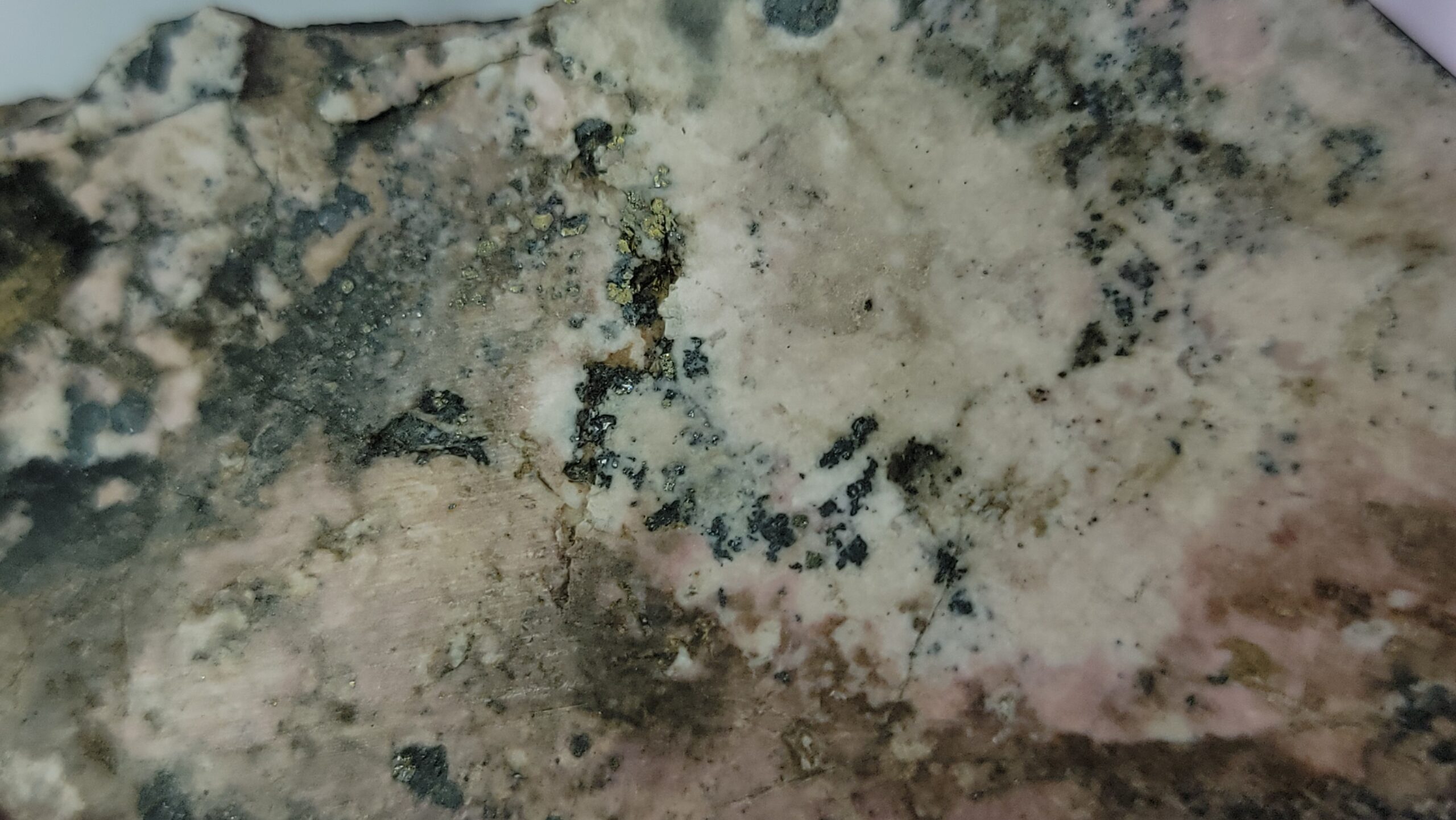
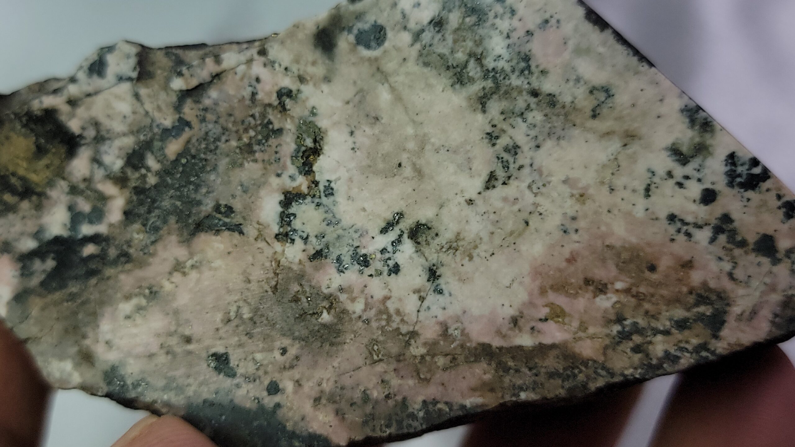
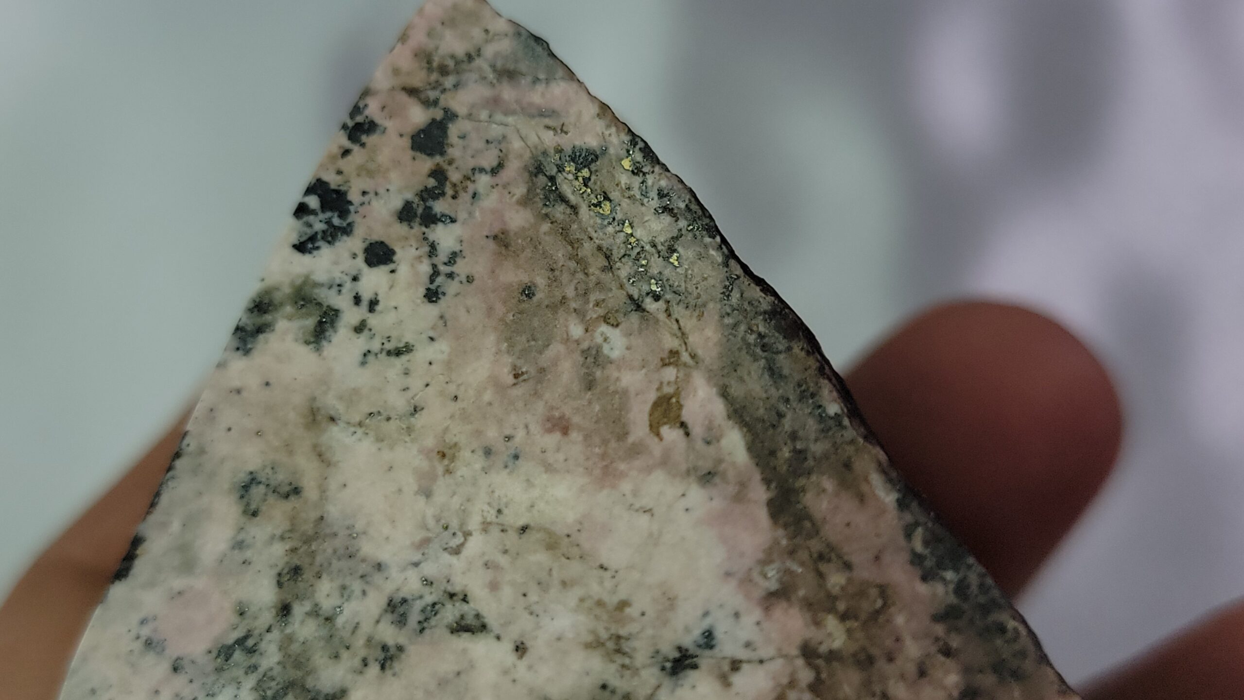
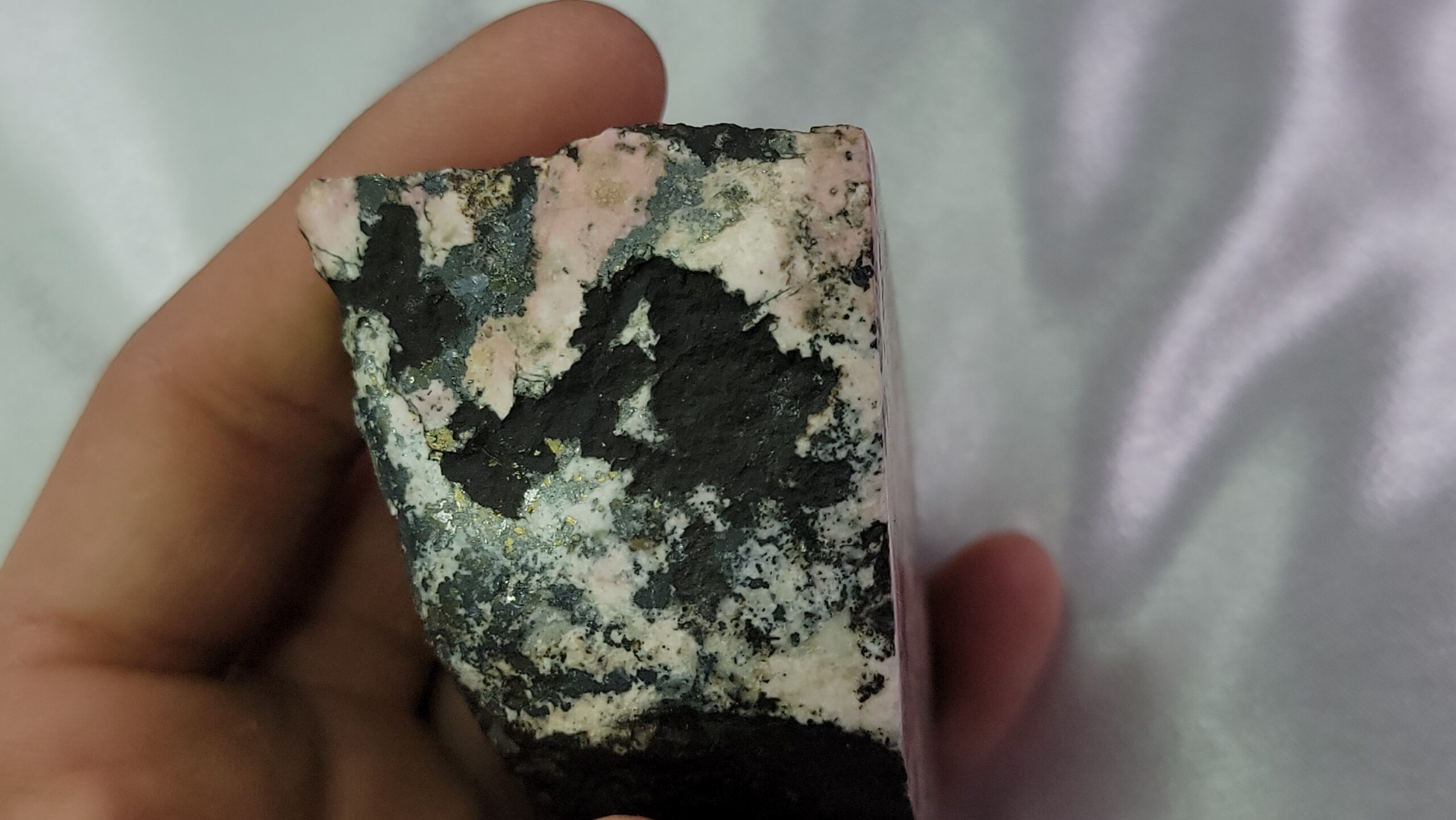
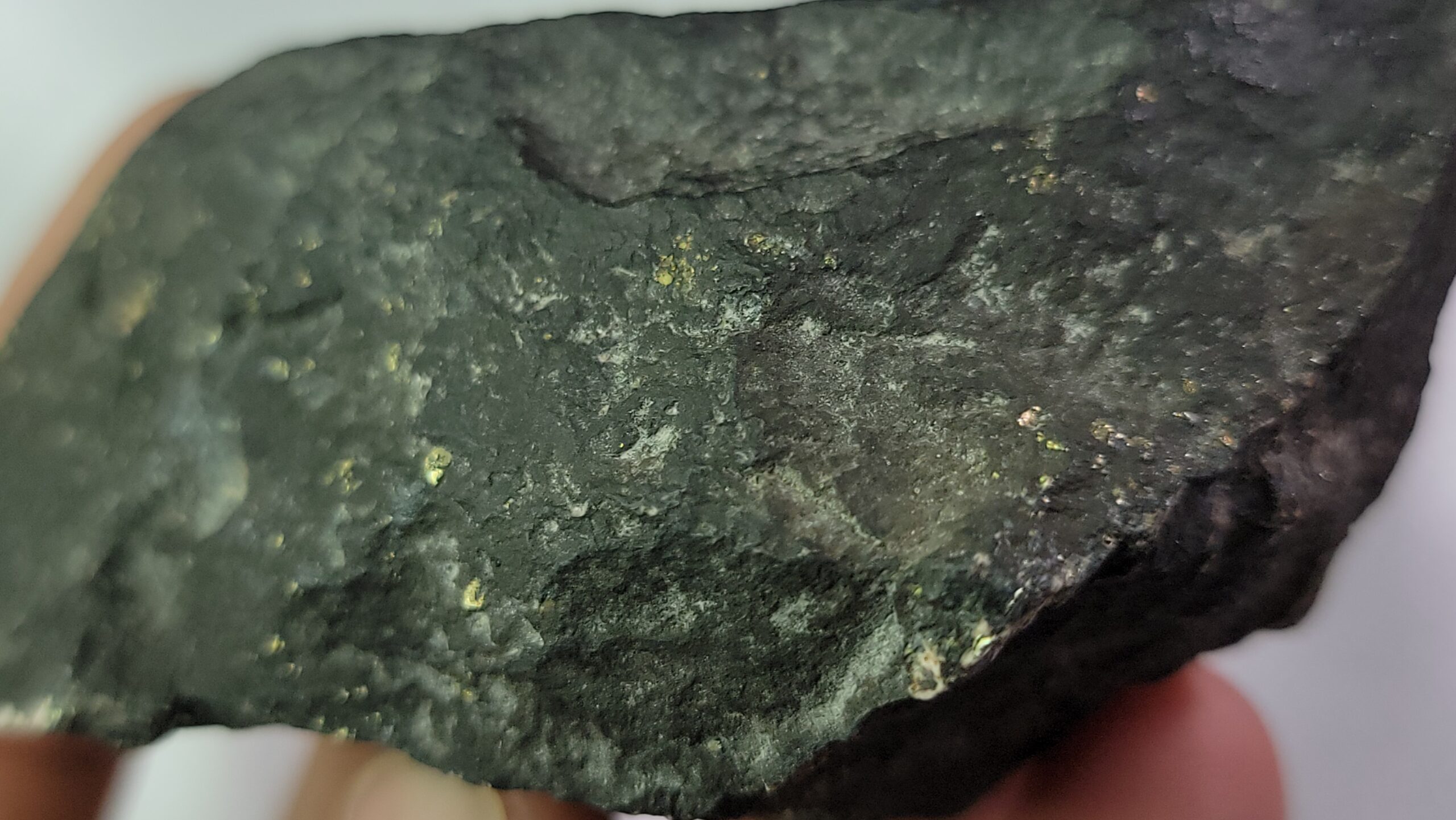
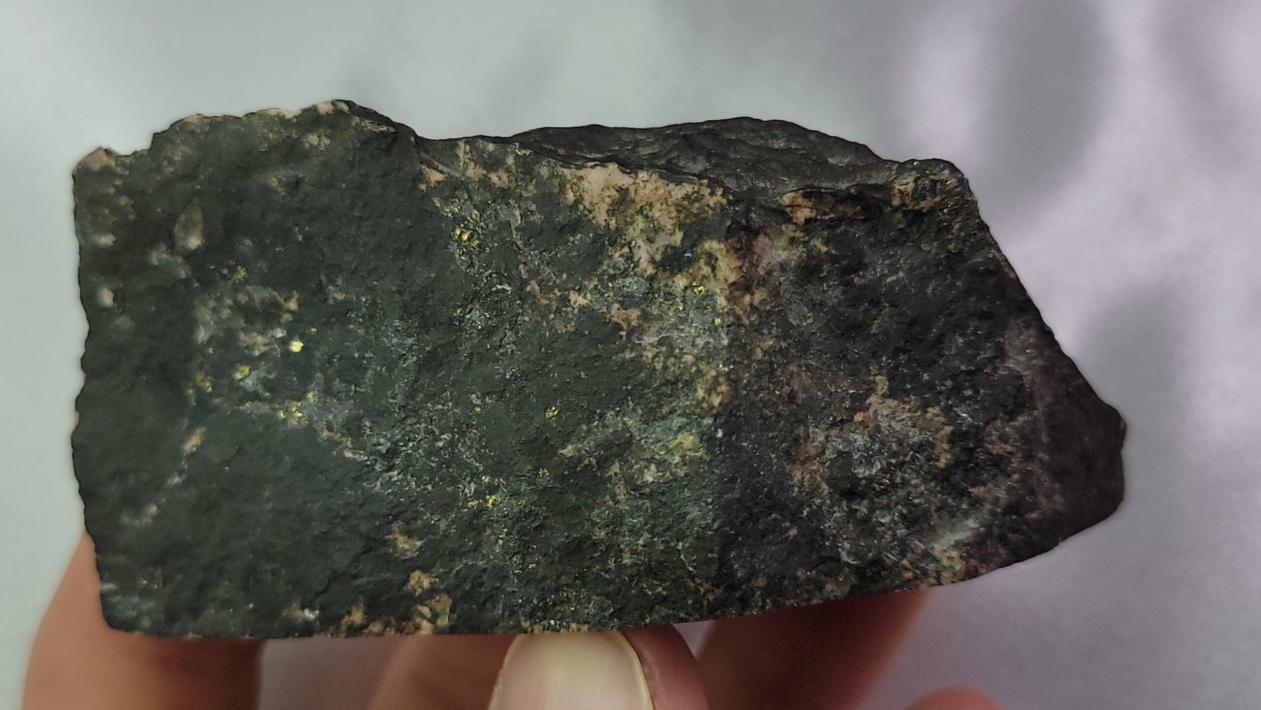
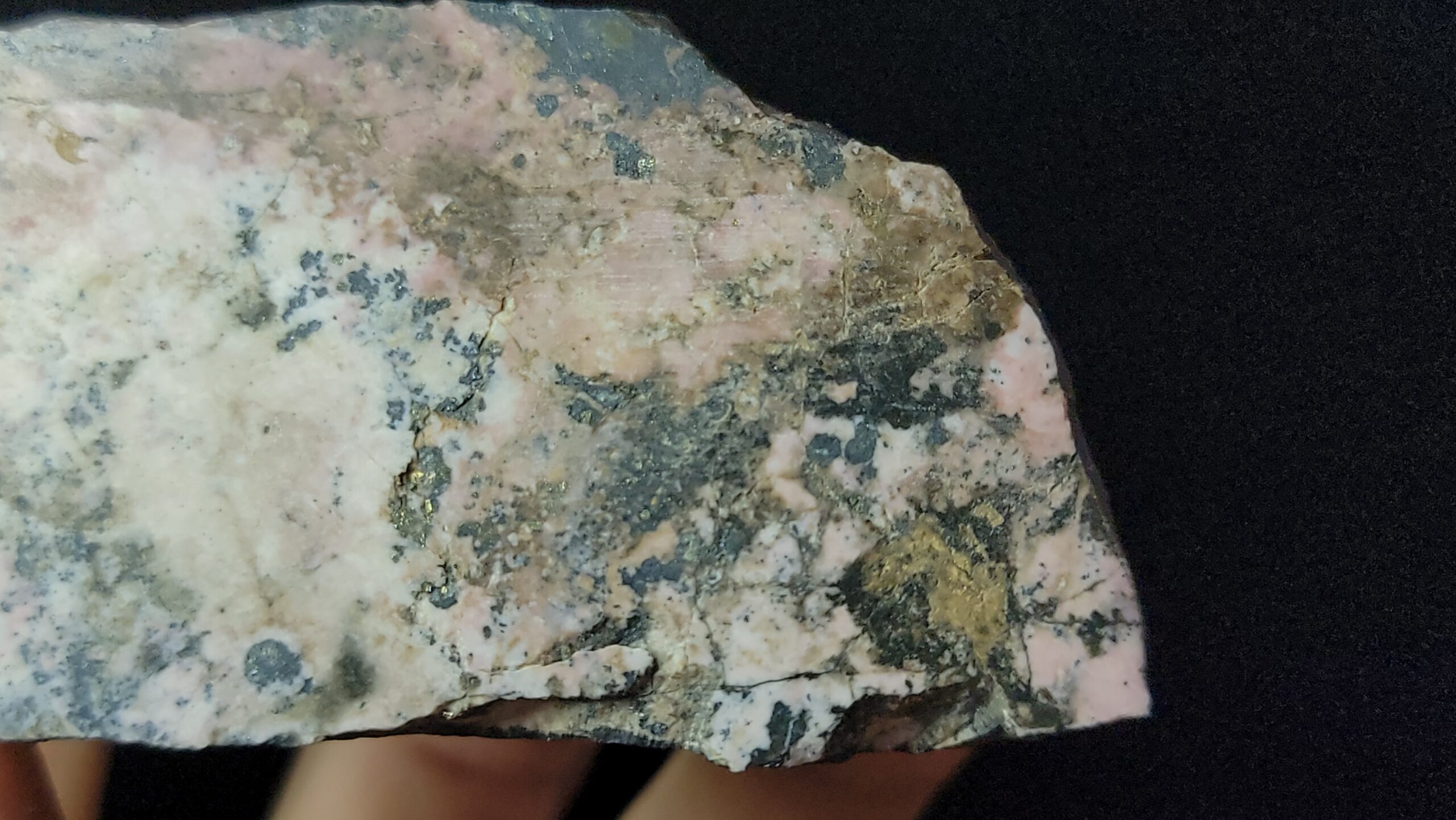
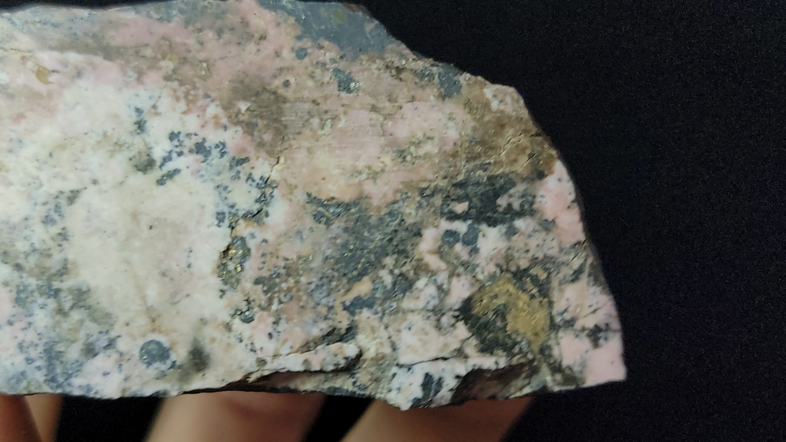
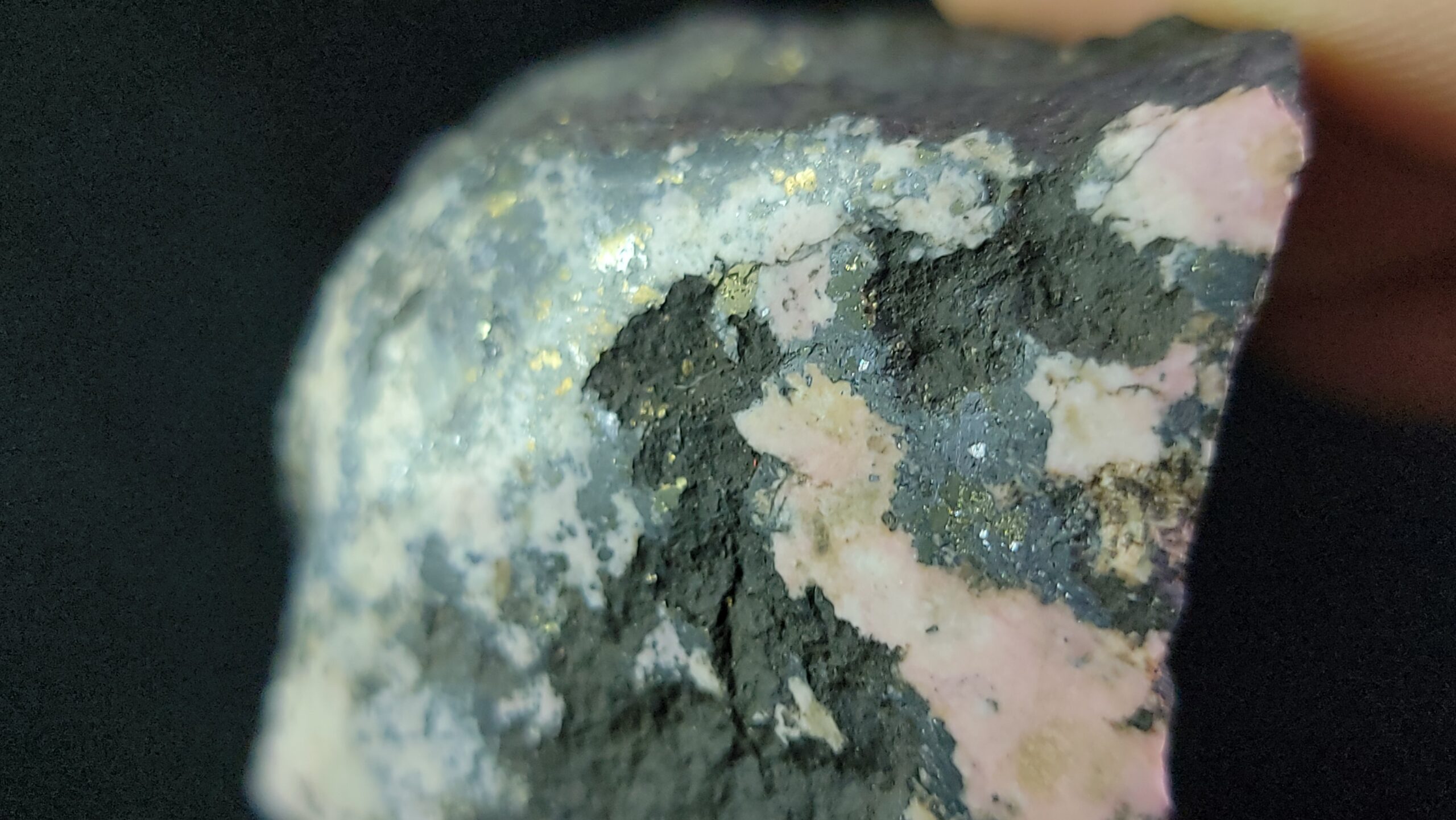
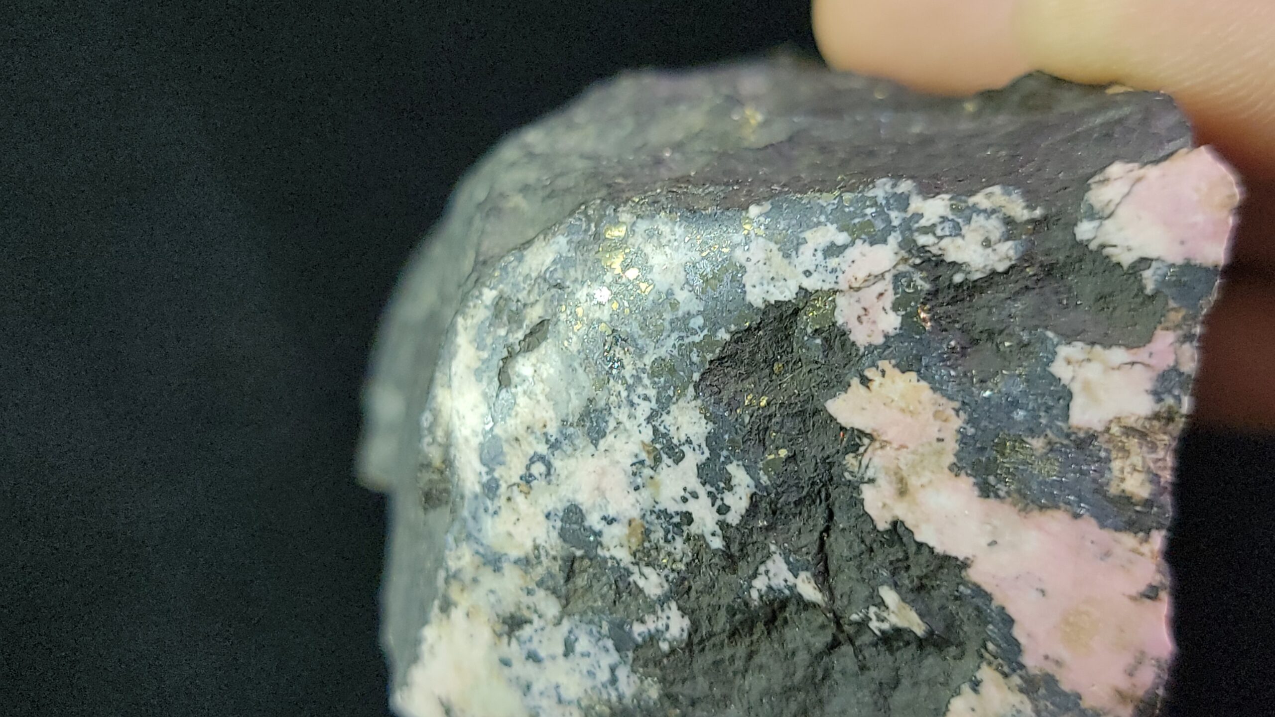
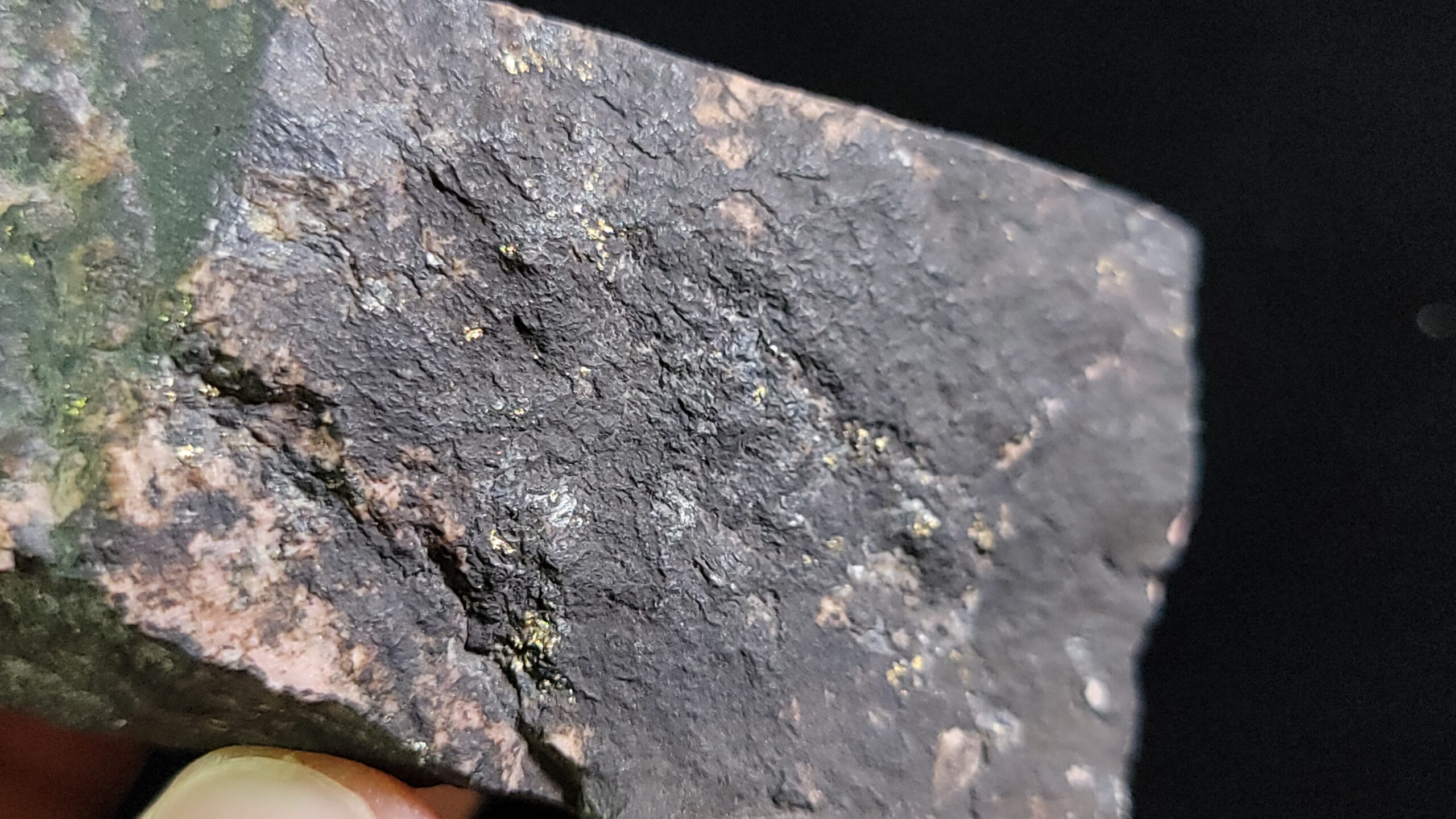
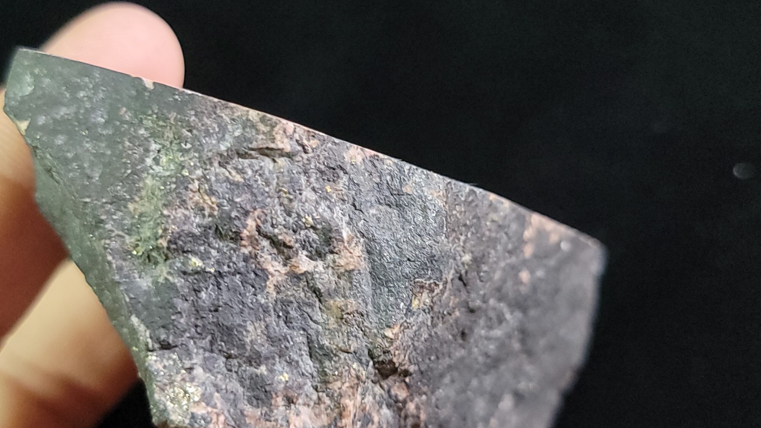
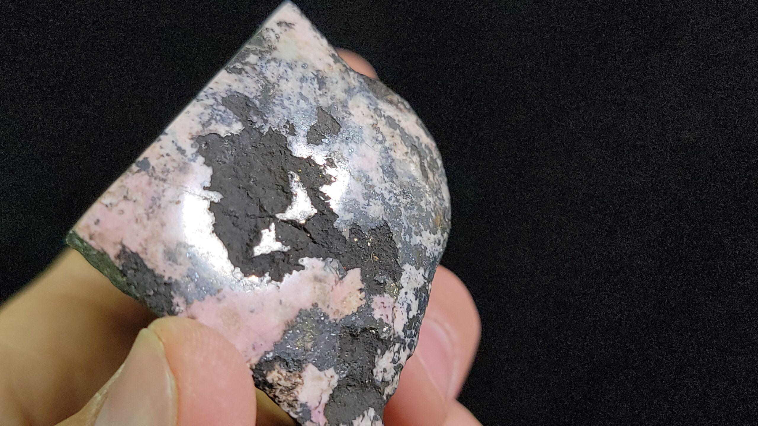
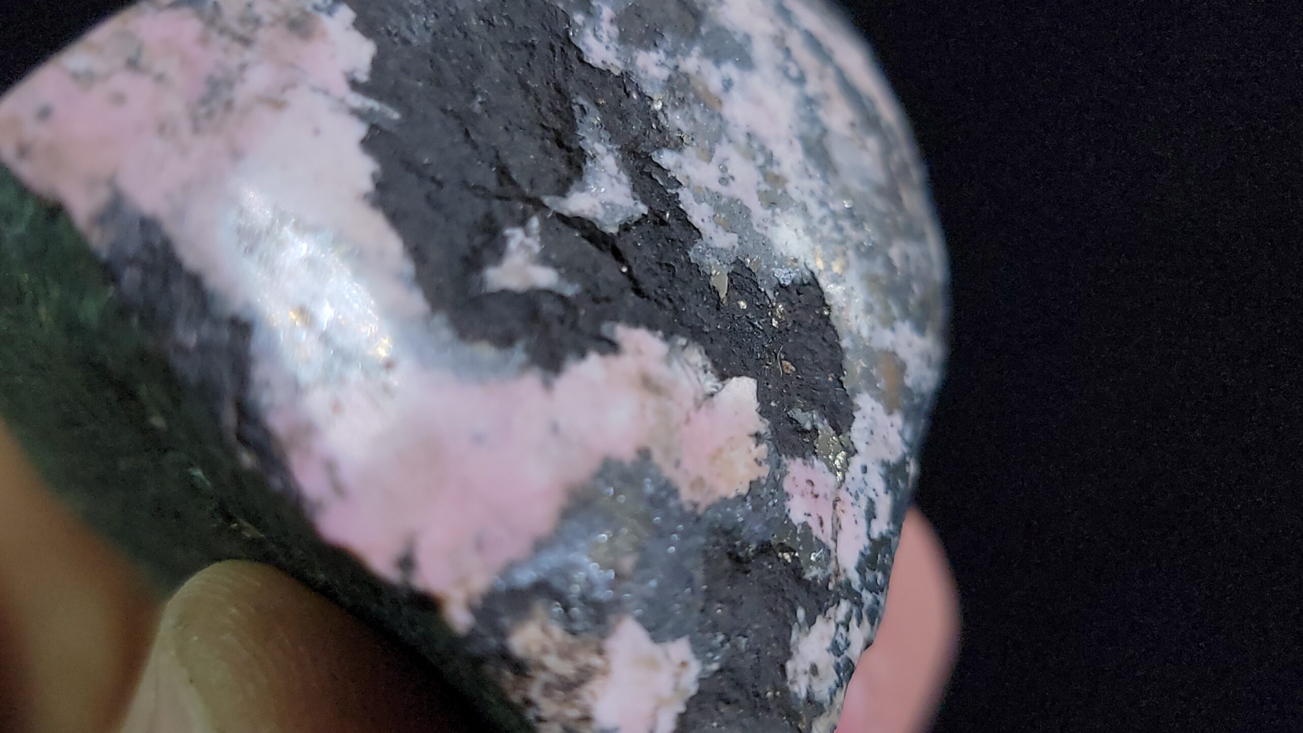
Pyroxmangite has a hardness of 5½ – 6 and a specific gravity of 3.61 – 3.80. It was “named in 1913 by William E. Ford and W. M. Bradley from PYROXene and MANGanese, in allusion to its structure and content of Manganese” according to Mindat.
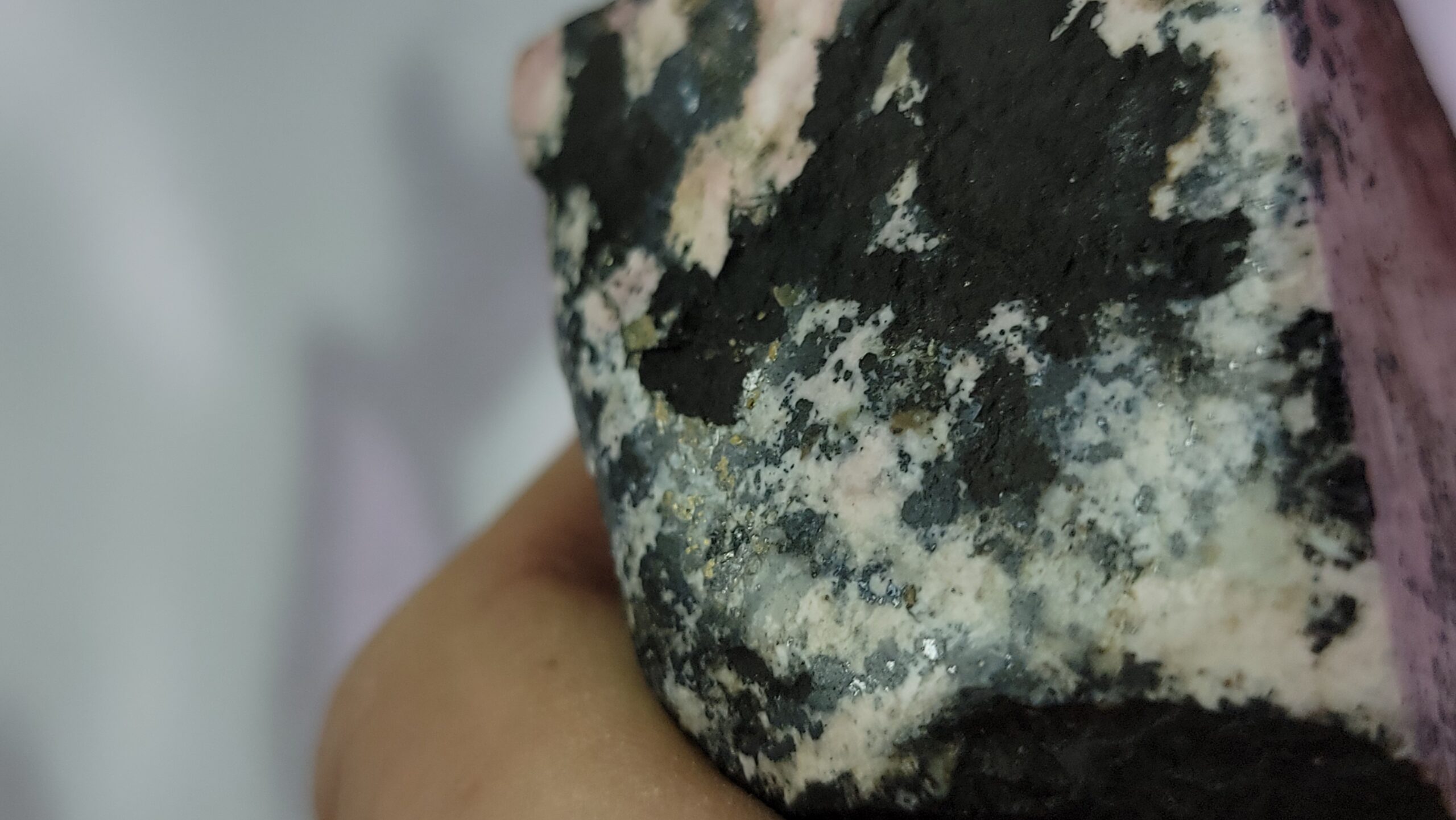
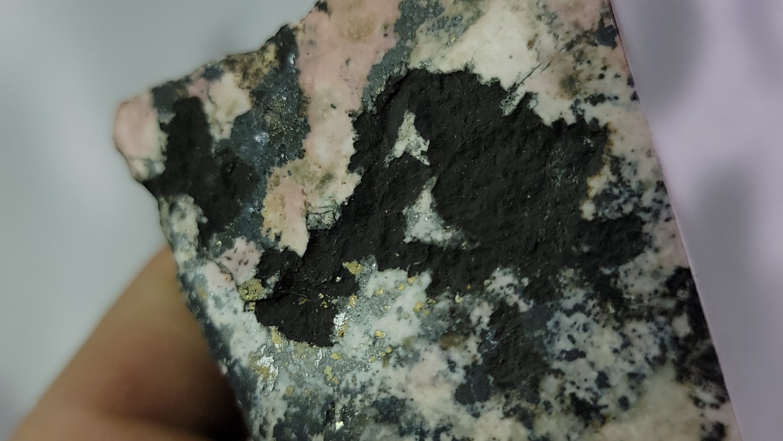
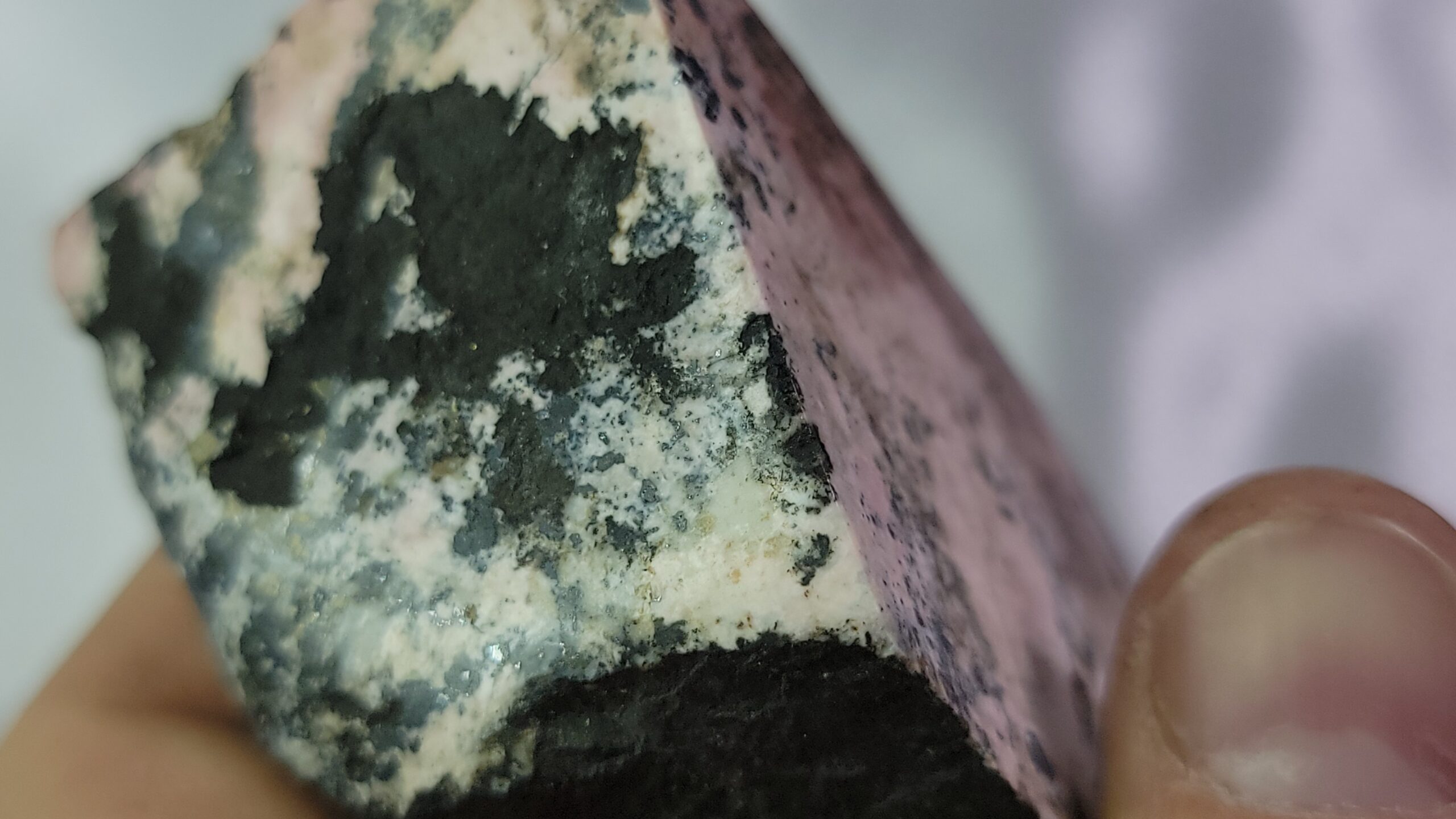
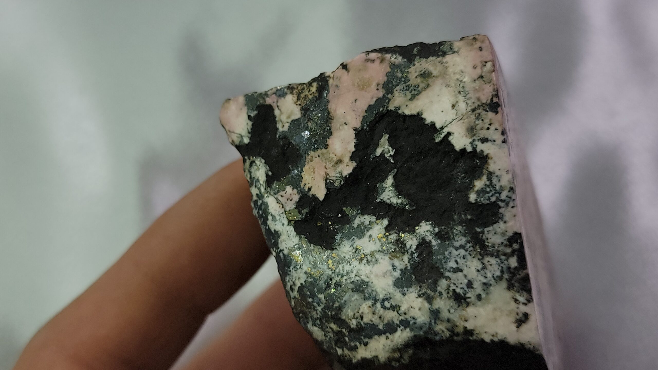
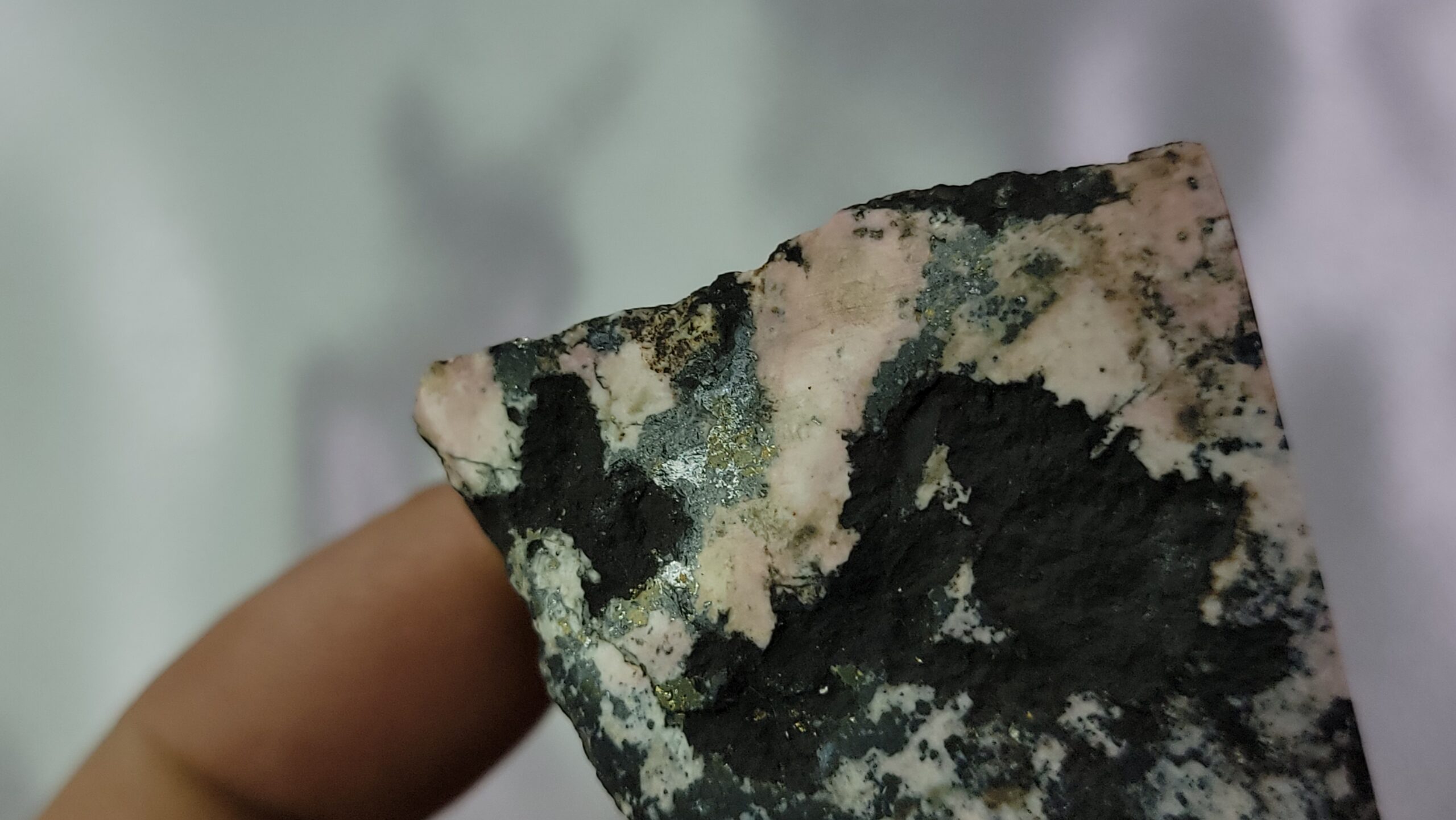
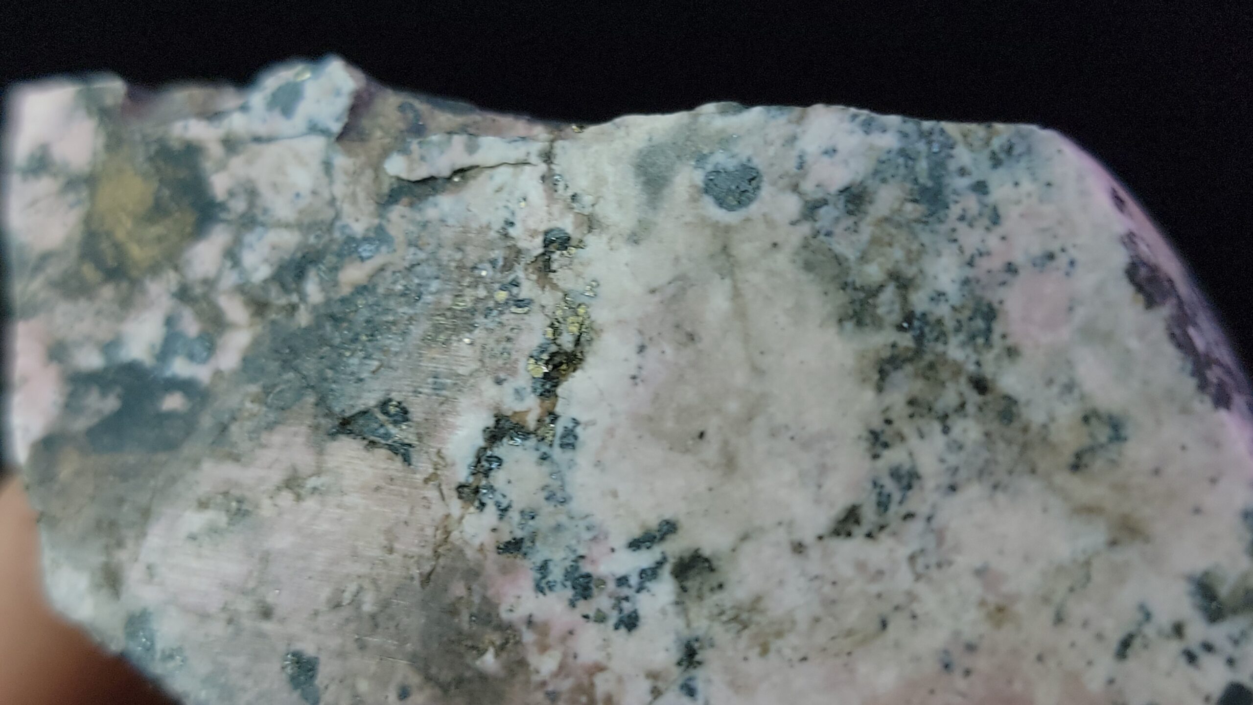
While both Rhodonite and Pyroxmangite are often confused for one another, and can be found together in locations which were at one time high-temperature environments, Pyroxmangite is the high-pressure, low-temperature polymorph of Rhodonite, according to Mindat. According to Wikipedia, “Pyroxmangite occurs in metamorphosed ore deposits rich in manganese. Associated minerals include spessartine, tephroite, alleghanyite, hausmannite, pyrophanite, alabandite, rhodonite and rhodochrosite”
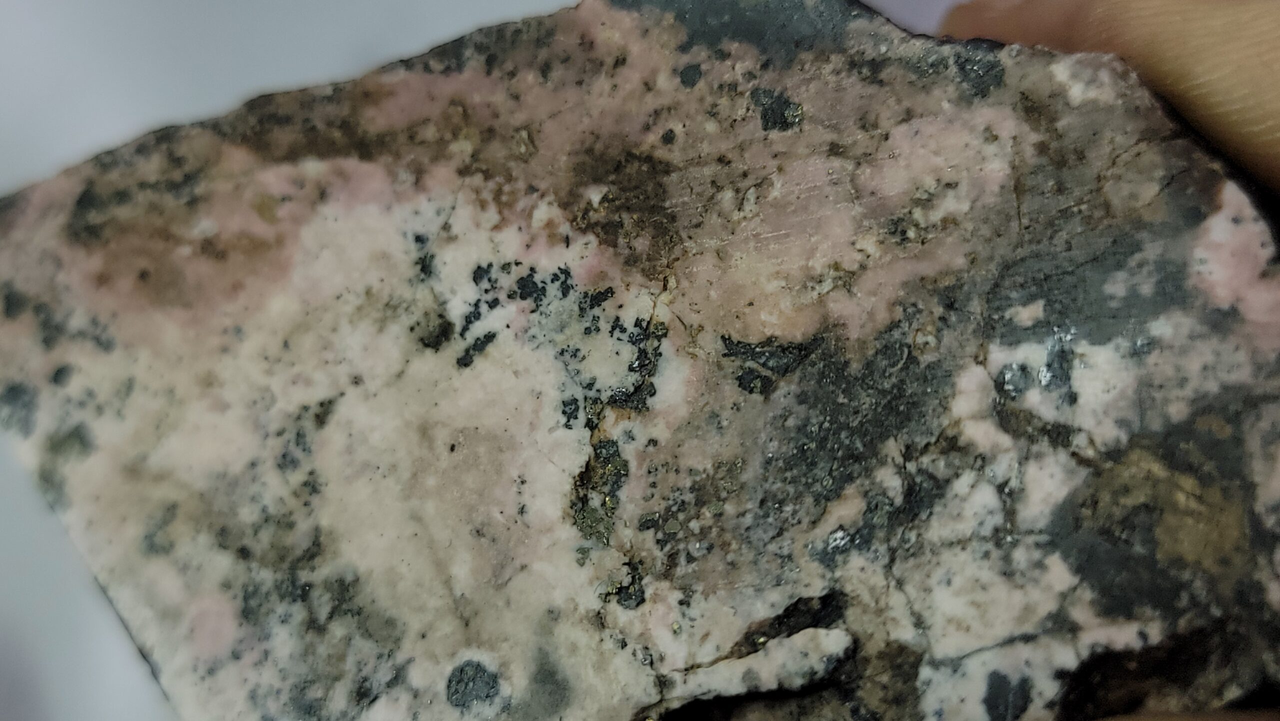
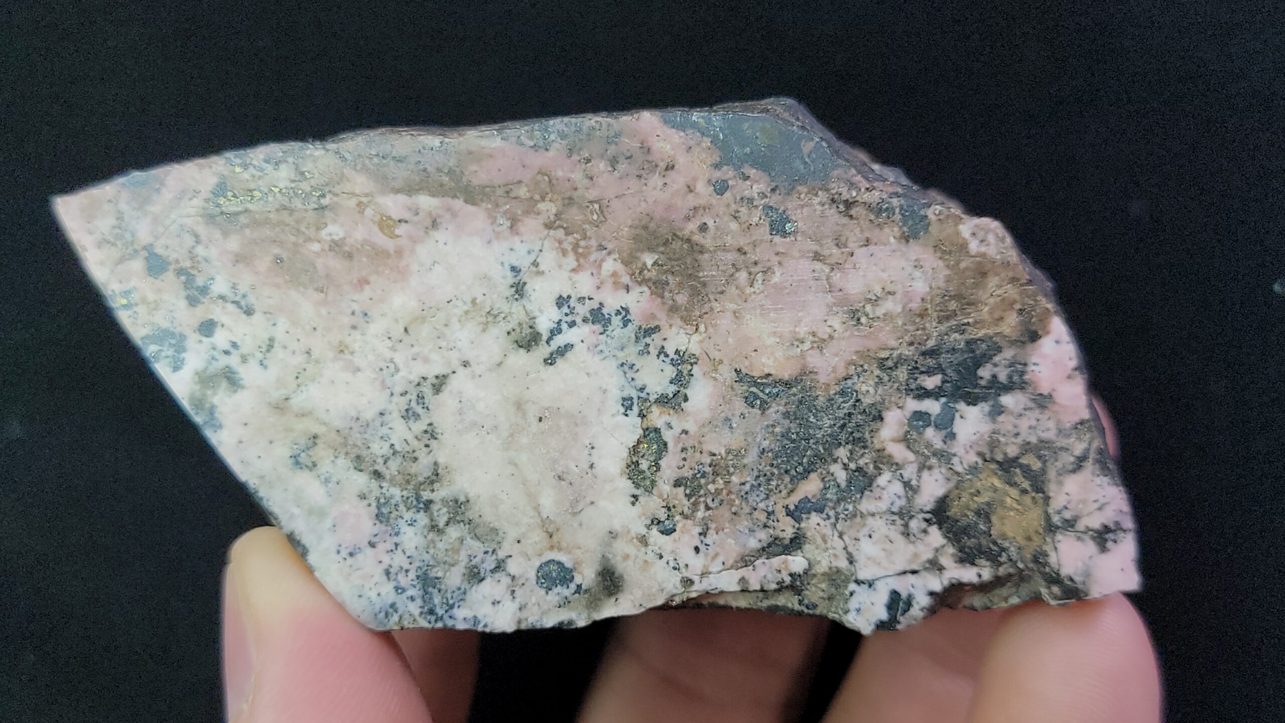
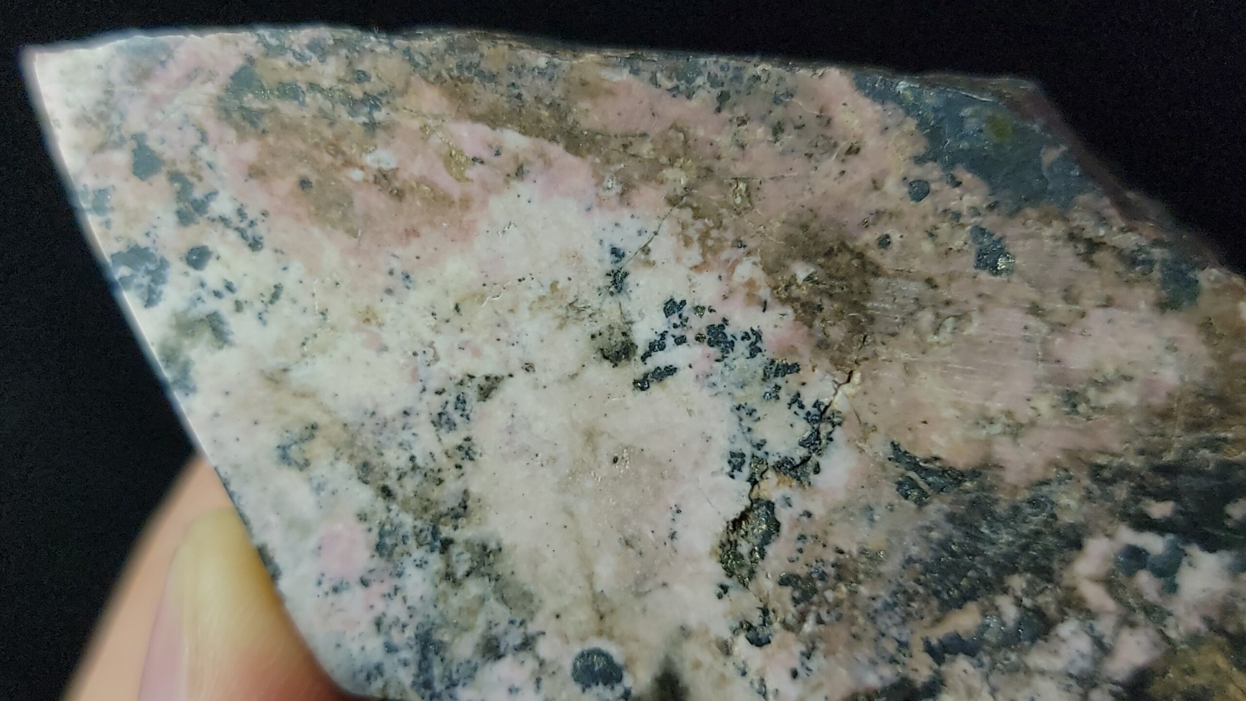
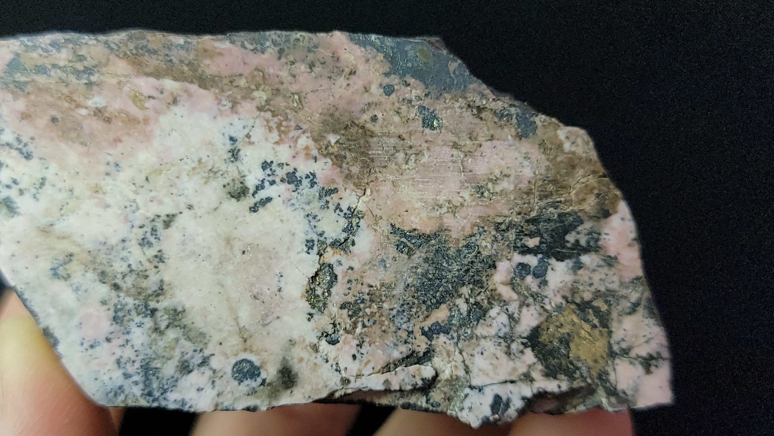
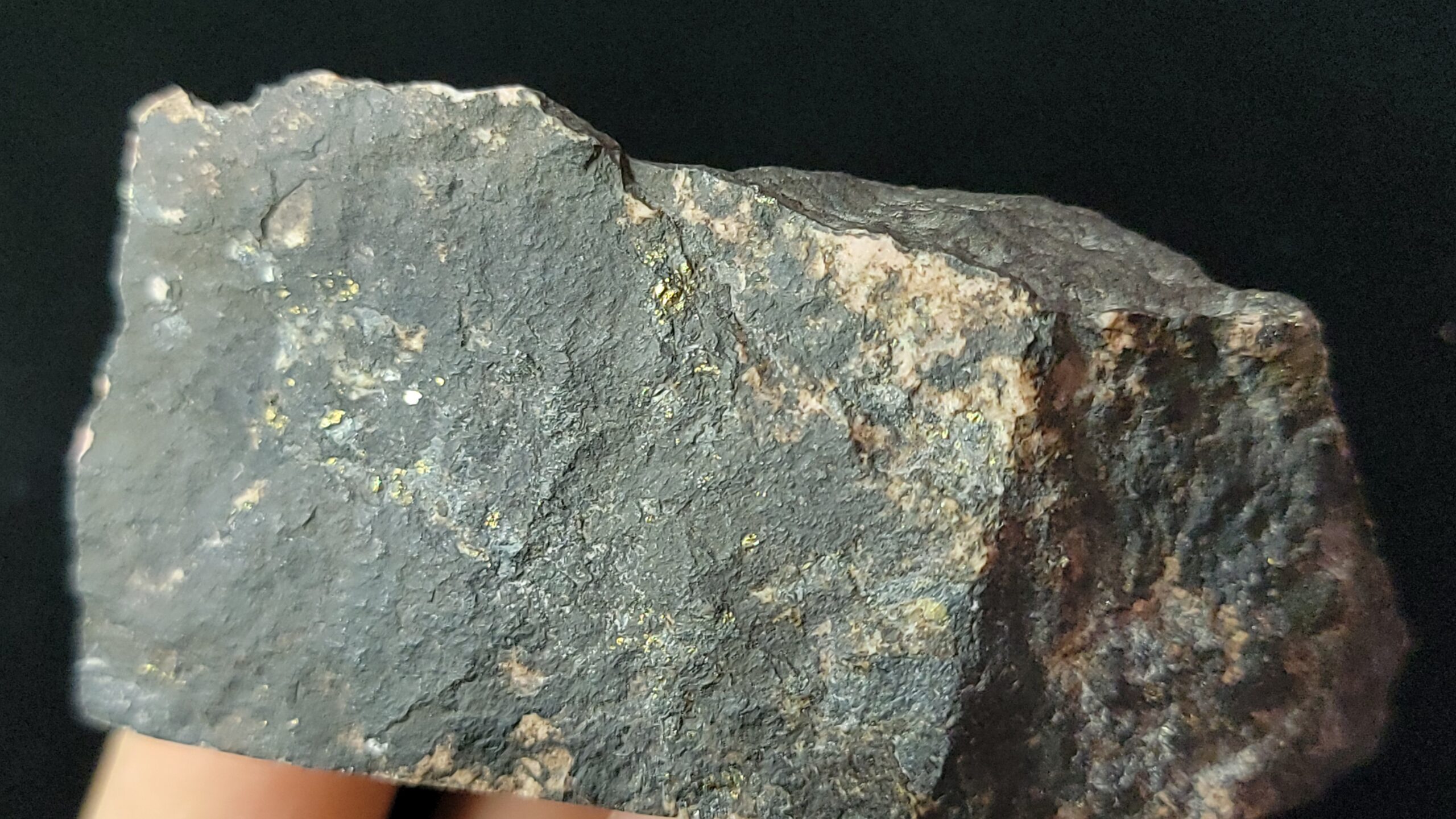
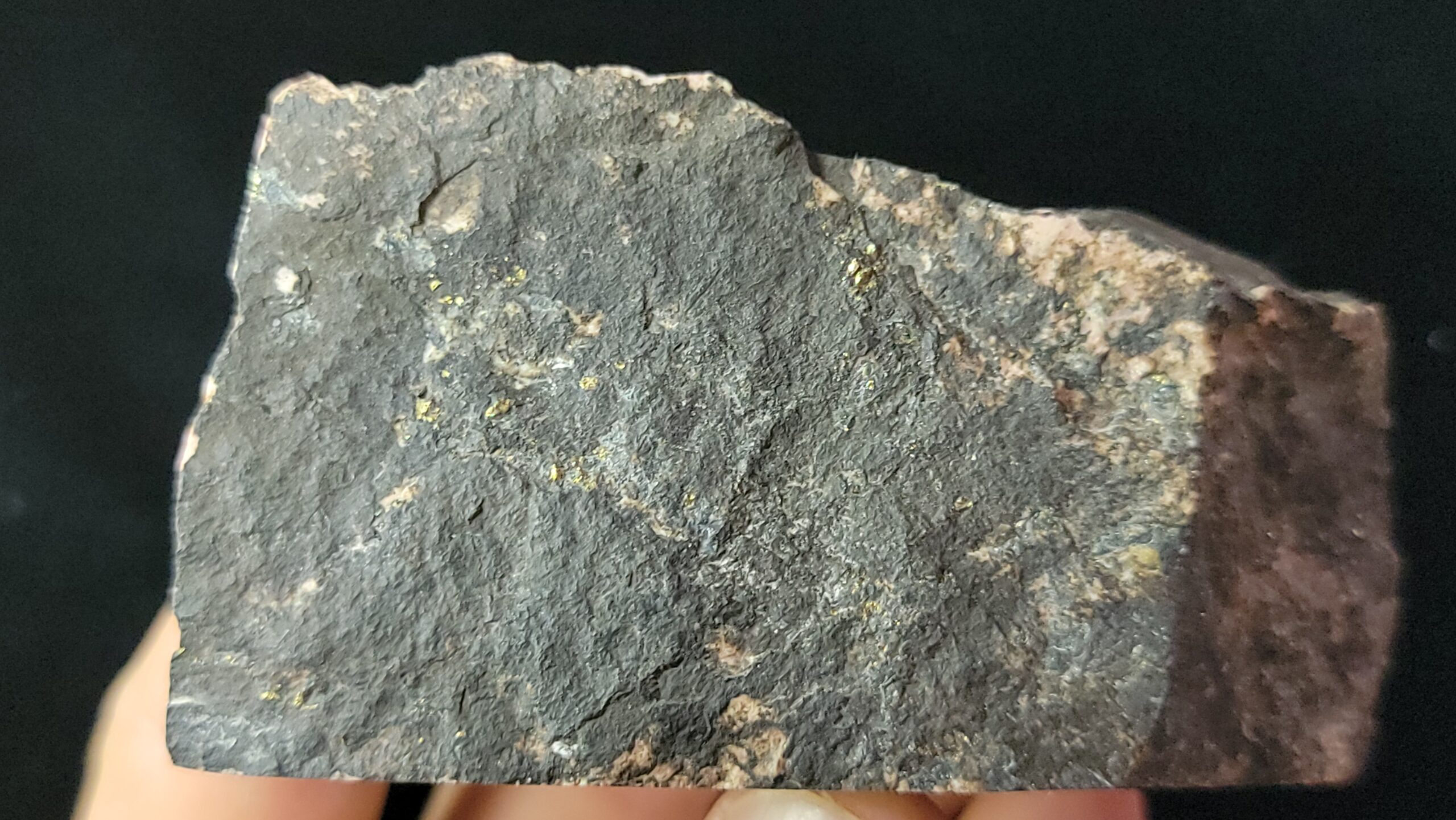
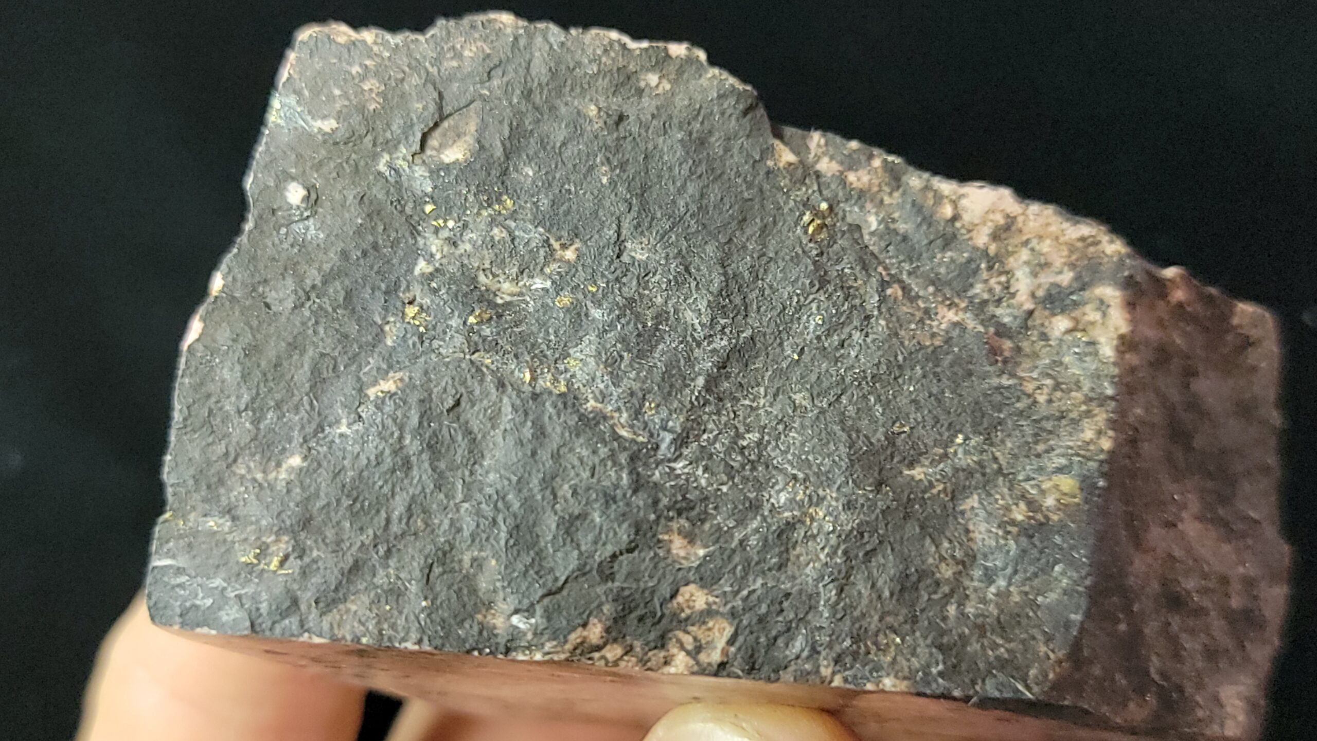
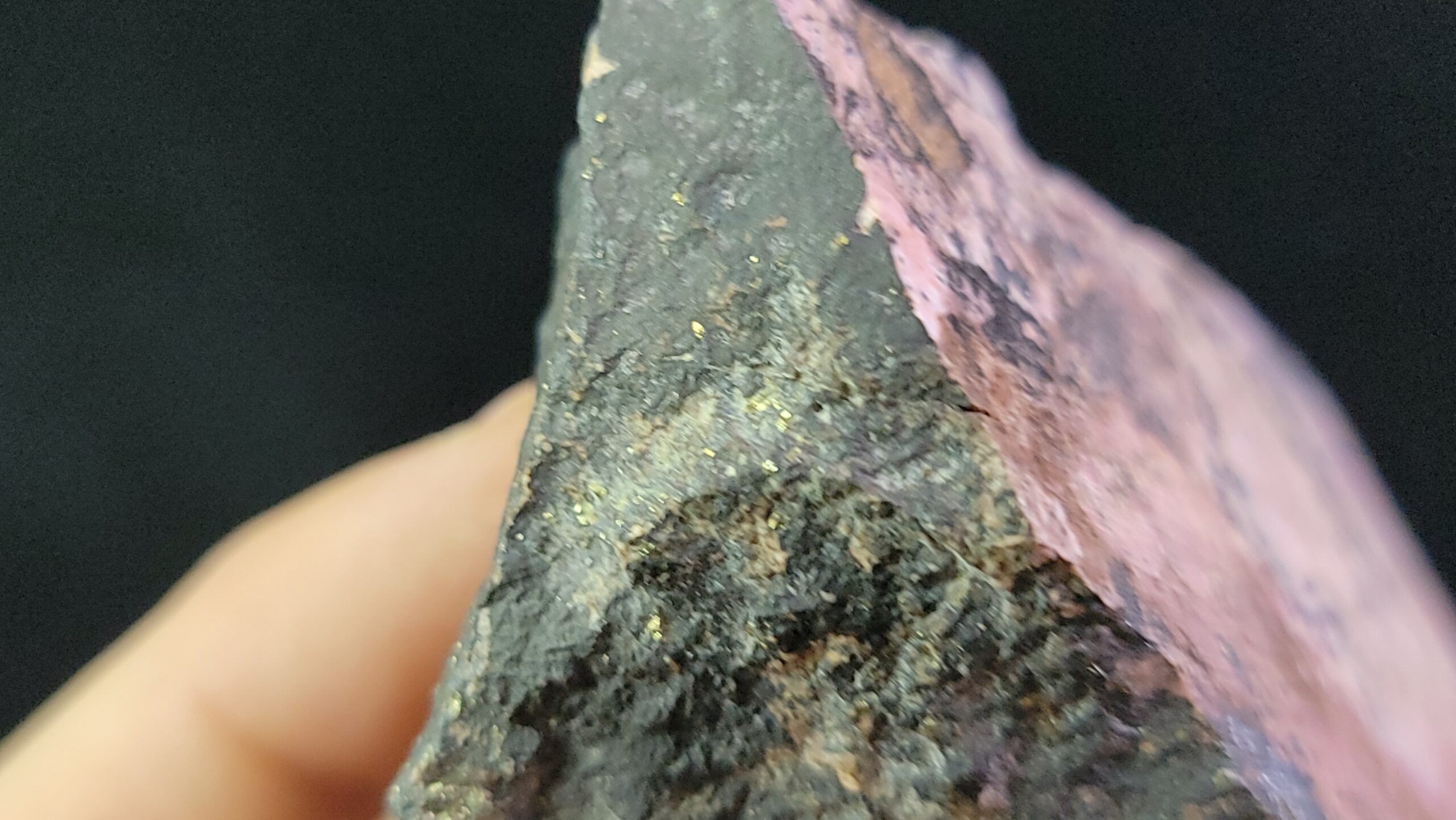
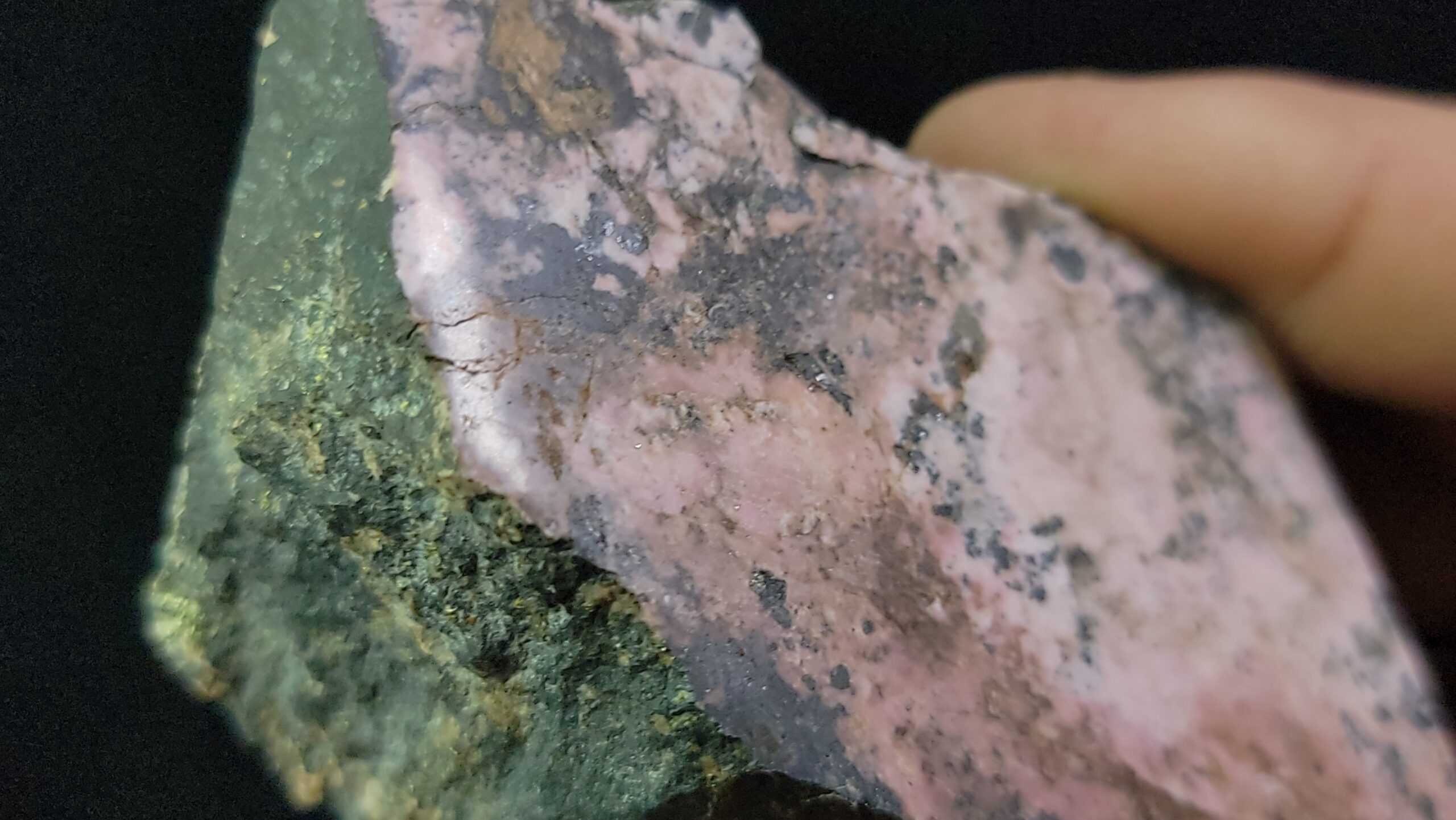
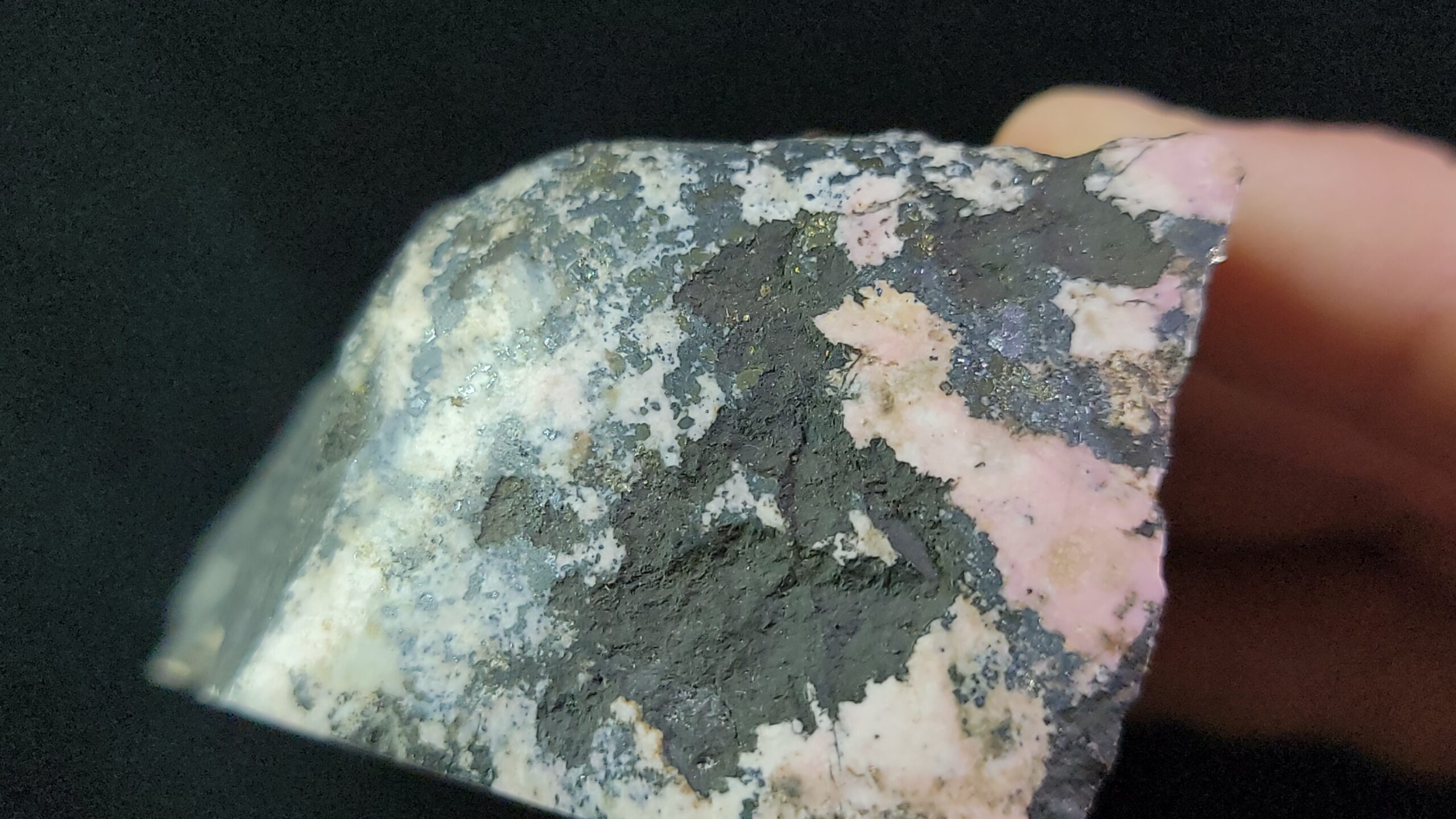
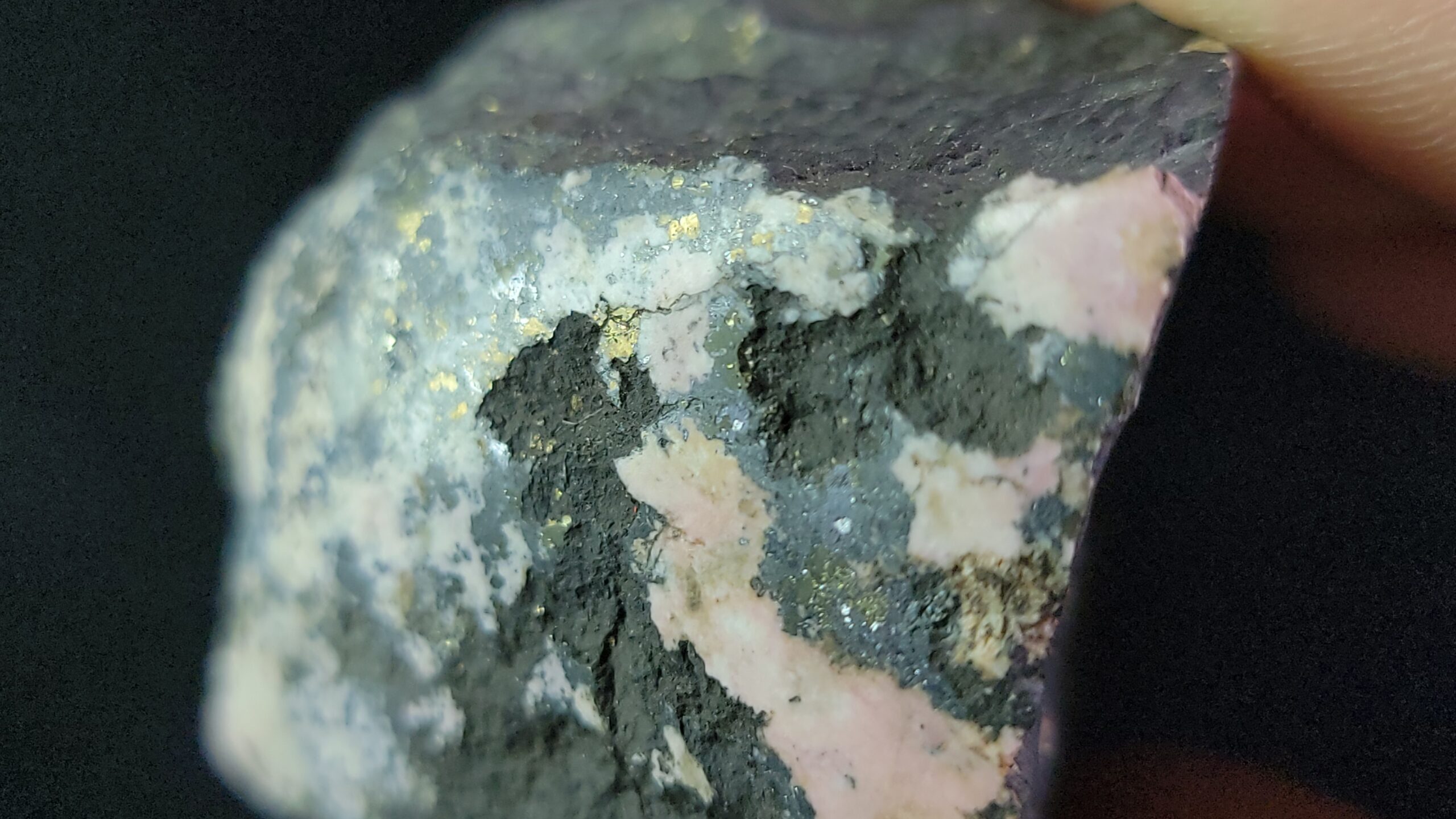
WebMineral shows an analysis consisting of mostly Oxygen at 36%, and 34% Manganese, with 21% Silicon and the remaining 9% being Iron, so these would make for the perfect sample for element collectors!
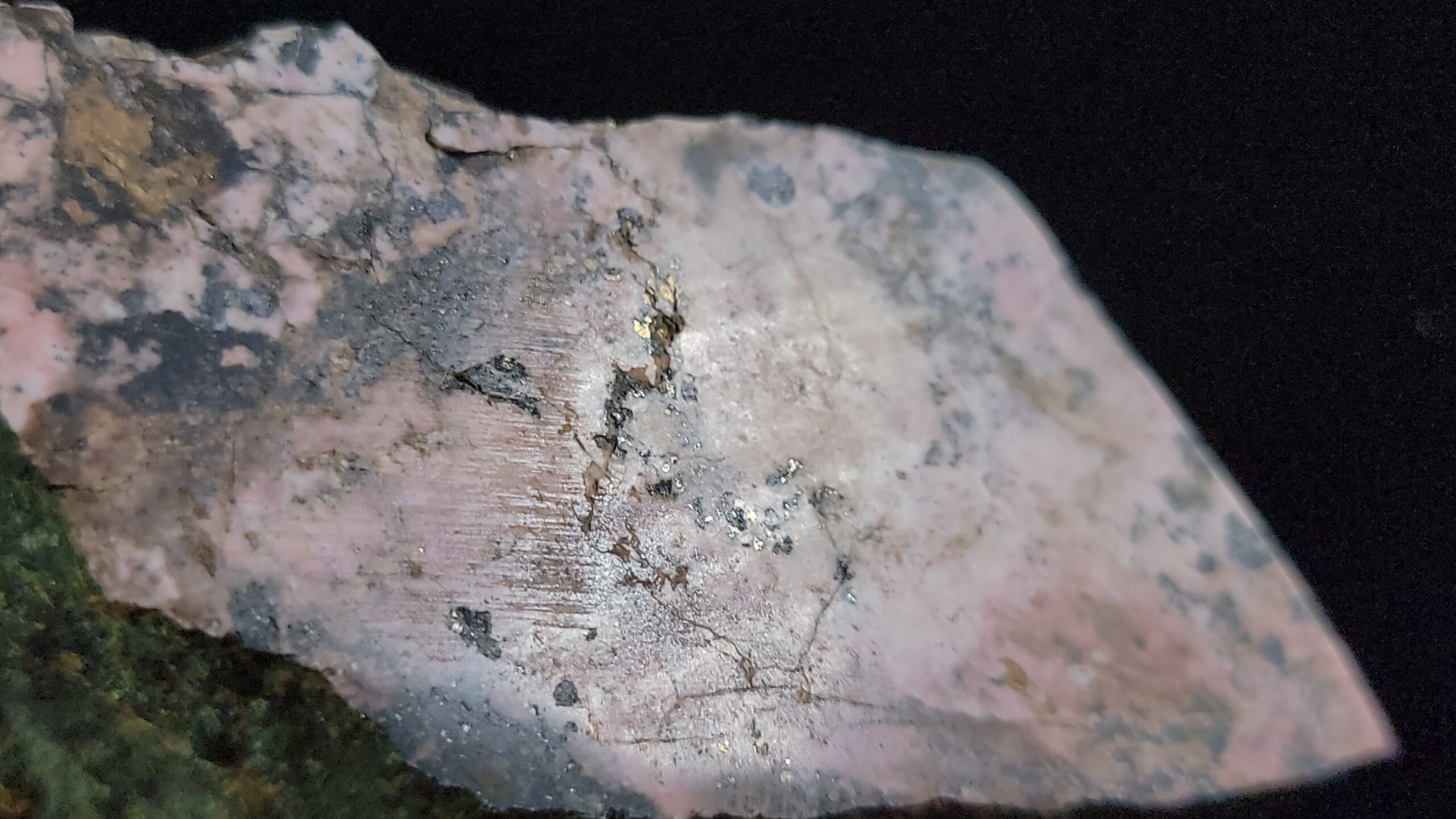
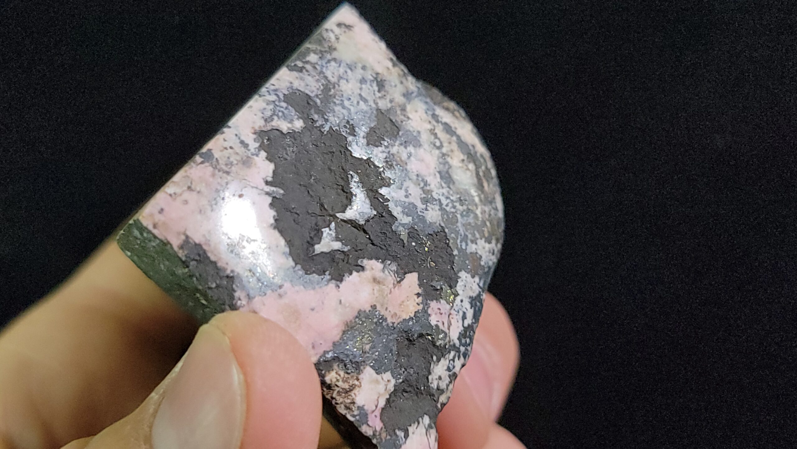
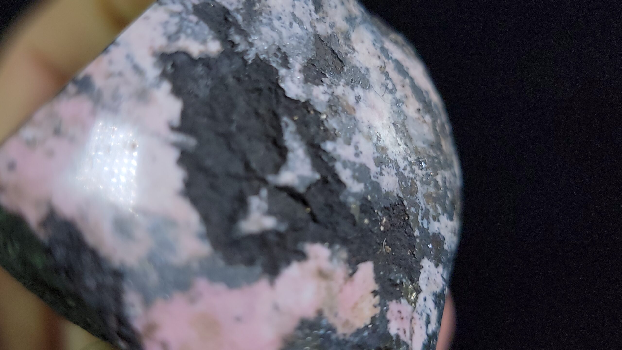
Pyroxmangite may be useful as a Manganese ore, but it’s not inherently extremely valuable. However, if you just so happen to find a rock that looks like these, you may just also find Rhodochrosite, and perhaps some additional metals associated nearby, so be sure to keep your eyes out for cool pink rocks like these!
The following comes from Mindat on Sunnyside Mine:
A former Au-Pb-Mn-Ag-Zn-Cu mine, on patented (private) land (private lease/located claim).
The Sunnyside Mine worked veins associated with the Eureka graben, a volcanic collapse structure connecting the Silverton and Lake City calderas. The veins are multi-generational fissure fillings with ore shoots often localized by fault intersections. Burbank and Luedke present an extensive description of the geology of the area and of the vein system.
The Sunnyside Mine started in the late 1880’s and closed 1930. Reopened 1937 and closed 1938. The original surface plant was on the shore of Lake Emma in a glacial cirque east of Bonita peak above 12000 feet. In the late 1890’s an aerial tramway was constructed to bring the ore to the Sunnyside Mill at Eureka, 3 miles east of and 2000 feet below the mine.
American tunnel was originally part of the Gold King Mine at Gladstone. On USGS topographic maps it is still labeled as such. Begun in 1900 some 800 feet beneath level 7, the Gold King’s main operating level, it was only driven in about 700 ft. In 1922-3 the American tunnel was extended to 6233 feet from the portal, to a point beneath the Gold King’s main workings, but the mine closed before any other development work could be done.
After a long period of dormancy Standard Metals became the operating entity of the Sunnyside Mine and decided to access it from beneath through the American tunnel. Between 1959-1962, the tunnel was driven nearly another mile to a point 1800 feet beneath the old workings of the Sunnyside Mine, a final length of approximately 11000 feet. The American tunnel provided deep drainage and gravity assisted ore handling solving 2 major problems that had greatly increased costs and led to the demise of the original Sunnyside mine nearly 25 years earlier.
On June 4th, 1978, the bottom of Lake Emma collapsed into the upper mine workings sending a slurry of mud and debris through most of the workings. Production resumed after about 2 years of rehabilitation and the operation stumbled on through poor economic times until early in 1985 when Standard Metals sold the property. Production continued under the new operating entity, Sunnyside Gold Corp., a subsidiary of Echo Bay Mines, Ltd. Like many mines in this area and elsewhere the Sunnyside had a long history of changing ownership.
Except for a 2 year rehab hiatus in the wake of the Lake Emma disaster, the Sunnyside mine produced ore through the American tunnel until 1991 when depressed gold and base metal prices turned more ore into rock than could be tolerated…
A paper entitled “Technical Evaluation of the Gold King Mine Incident” was produced by the U.S. DoI, BoR, Technical Service Center. It contains lots of information including maps of the American Tunnel and other mine workings in the area.


Reviews
There are no reviews yet.